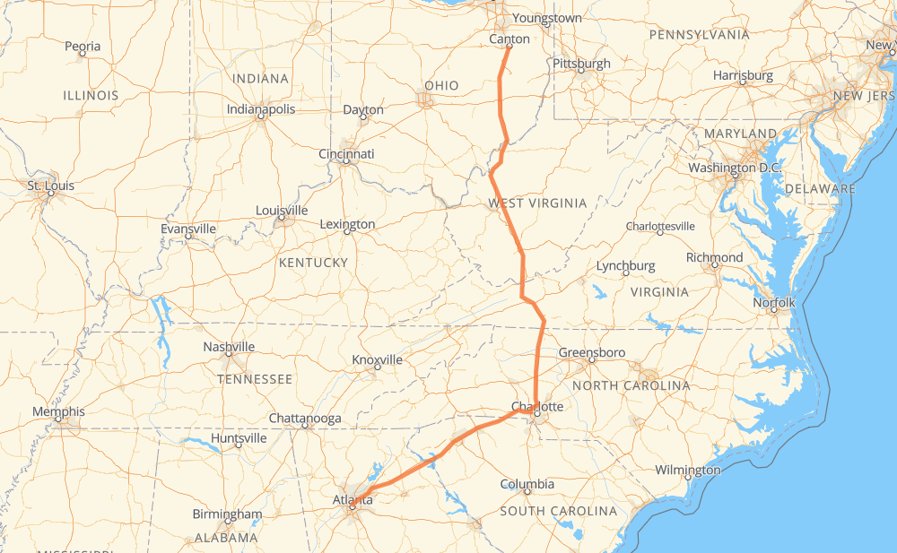
The distance from Canton to Atlanta is 692 miles by road including 688 miles on motorways. Road takes approximately 10 hours and 31 minutes and goes through Parkersburg, Charleston, Charleston, Charlotte and Greenville.
You can adjust fuel consumption and fuel price here.
How long is a car ride from Canton to Atlanta?
Driving time:
10 h 31 min
This time is calculated for driving at the maximum permitted speed, taking into account traffic rules restrictions.
460 mi with a maximum speed 68 mph = 6 h 46 min
126 mi with a maximum speed 65 mph = 1 h 55 min
22 mi with a maximum speed 62 mph = 21 min
57 mi with a maximum speed 60 mph = 57 min
8 mi with a maximum speed 55 mph = 8 min
2 mi with a maximum speed 50 mph = 2 min
16 mi with a maximum speed 50 mph = 18 min
1 mi with a maximum speed 31 mph = 1 min
The calculated driving time does not take into account intermediate stops and traffic jams.
How far is Canton to Atlanta by land?
The distance between Canton and Atlanta is 691.6 mi by road including 688.5 mi on motorways.
Precise satellite coordinates of highways were used for this calculation. The start and finish points are the centers of Canton and Atlanta respectively.
How far is Canton to Atlanta by plane?
The shortest distance (air line, as the crow flies) between Canton and Atlanta is 514.5 mi.
This distance is calculated using the Haversine formula as a great-circle distance between two points on the surface of a sphere. The start and finish points are the centers of Canton and Atlanta respectively. Actual distance between airports may be different.
How many hours is Canton from Atlanta by plane?
Boeing 737 airliner needs 1 h 2 min to cover the distance of 514 mi at a cruising speed of 497 mph.
Small plane "Cessna 172" needs 3 h 45 min to flight this distance at average speed of 136 mph.
This time is approximate and do not take into account takeoff and landing times, airport location and other real world factors.
How long is a helicopter ride from Canton to Atlanta?
Fast helicopter "Eurocopter AS350" or "Hughes OH-6 Cayuse" need 3 h 27 min to cover the distance of 514 mi at a cruising speed of 149 mph.
Popular "Robinson R44" needs 3 h 56 min to flight this distance at average speed of 130 mph.
This time is approximate and do not take into account takeoff and landing times, aerodrome location and other real world factors.
What city is halfway between Canton and Atlanta?
The halfway point between Canton and Atlanta is Five Forks. It is located about 6 mi from the exact midpoint by road.
The distance from Five Forks to Canton is 341 mi and driving will take about 5 h 3 min. The road between Five Forks and Atlanta has length 351 mi and will take approximately 5 h 28 min.
The other cities located close to halfway point:
Fort Chiswell is in 326 mi from Canton and 365 mi from Atlanta
Salemfork is in 372 mi from Canton and 319 mi from Atlanta
Wytheville is in 319 mi from Canton and 373 mi from Atlanta
Where is Canton in relation to Atlanta?
Canton is located 514 mi north-east of Atlanta.
Canton has geographic coordinates: latitude 40.79895, longitude -81.37844.
Atlanta has geographic coordinates: latitude 33.7491, longitude -84.39018.
Which highway goes from Canton to Atlanta?
The route from Canton to Atlanta follows I 77, I 85.