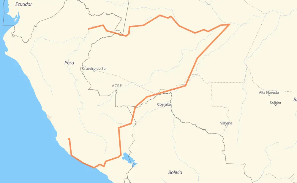
The distance from Bellavista Nanay to Cordova is 3,378 miles by road. Road takes approximately 147 hours and 58 minutes and goes through Iquitos, Porto Velho, Puerto Maldonado and Juliaca.
You can adjust fuel consumption and fuel price here.
How long is a car ride from Bellavista Nanay to Cordova?
Driving time:
147 h 58 min
This time is calculated for driving at the maximum permitted speed, taking into account traffic rules restrictions.
543 mi with a maximum speed 56 mph = 9 h 41 min
91 mi with a maximum speed 56 mph = 1 h 38 min
1,124 mi with a maximum speed 50 mph = 22 h 36 min
1 mi with a maximum speed 43 mph = 1 min
258 mi with a maximum speed 37 mph = 6 h 54 min
18 mi with a maximum speed 31 mph = 34 min
8 mi with a maximum speed 25 mph = 18 min
48 mi with a maximum speed 19 mph = 2 h 35 min
1,287 mi with a maximum speed 12 mph = 103 h 36 min
The calculated driving time does not take into account intermediate stops and traffic jams.
How far is Bellavista Nanay to Cordova by land?
The distance between Bellavista Nanay and Cordova is 3,378.4 mi by road.
Precise satellite coordinates of highways were used for this calculation. The start and finish points are the centers of Bellavista Nanay and Cordova respectively.
How far is Bellavista Nanay to Cordova by plane?
The shortest distance (air line, as the crow flies) between Bellavista Nanay and Cordova is 726.4 mi.
This distance is calculated using the Haversine formula as a great-circle distance between two points on the surface of a sphere. The start and finish points are the centers of Bellavista Nanay and Cordova respectively. Actual distance between airports may be different.
How many hours is Bellavista Nanay from Cordova by plane?
Boeing 737 airliner needs 1 h 27 min to cover the distance of 726 mi at a cruising speed of 497 mph.
Small plane "Cessna 172" needs 5 h 18 min to flight this distance at average speed of 136 mph.
This time is approximate and do not take into account takeoff and landing times, airport location and other real world factors.
How long is a helicopter ride from Bellavista Nanay to Cordova?
Fast helicopter "Eurocopter AS350" or "Hughes OH-6 Cayuse" need 4 h 52 min to cover the distance of 726 mi at a cruising speed of 149 mph.
Popular "Robinson R44" needs 5 h 34 min to flight this distance at average speed of 130 mph.
This time is approximate and do not take into account takeoff and landing times, aerodrome location and other real world factors.
What city is halfway between Bellavista Nanay and Cordova?
The halfway point between Bellavista Nanay and Cordova is Renascer. It is located about 60 mi from the exact midpoint by road.
The distance from Renascer to Bellavista Nanay is 1,750 mi and driving will take about 112 h 34 min. The road between Renascer and Cordova has length 1,629 mi and will take approximately 35 h 24 min.
The other cities located close to halfway point:
Castanhal is in 1,781 mi from Bellavista Nanay and 1,598 mi from Cordova
Agrovila Santa Maria is in 1,802 mi from Bellavista Nanay and 1,576 mi from Cordova
Pedrinhas is in 1,824 mi from Bellavista Nanay and 1,555 mi from Cordova
Where is Bellavista Nanay in relation to Cordova?
Bellavista Nanay is located 726 mi north of Cordova.
Bellavista Nanay has geographic coordinates: latitude -3.70471, longitude -73.24804.
Cordova has geographic coordinates: latitude -14.03917, longitude -75.18464.
Which highway goes from Bellavista Nanay to Cordova?
The route from Bellavista Nanay to Cordova follows BR-319, PE-1S, BR-364, PE-34B, PE-34A, PE-30C, BR-317.