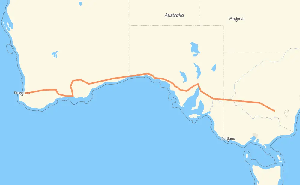
The distance from Boyanup to Book Book is 2,276 miles by road. Road takes approximately 41 hours and 14 minutes and goes through Port Augusta, Mildura, Wagga Wagga, Donnybrook, Collie, Darkan and Wagin.
You can adjust fuel consumption and fuel price here.
How long is a car ride from Boyanup to Book Book?
Driving time:
41 h 14 min
This time is calculated for driving at the maximum permitted speed, taking into account traffic rules restrictions.
2,146 mi with a maximum speed 56 mph = 38 h 18 min
12 mi with a maximum speed 56 mph = 13 min
78 mi with a maximum speed 50 mph = 1 h 33 min
1 mi with a maximum speed 43 mph = 1 min
30 mi with a maximum speed 37 mph = 48 min
7 mi with a maximum speed 31 mph = 14 min
1 mi with a maximum speed 25 mph = 1 min
1 mi with a maximum speed 16 mph = 1 min
The calculated driving time does not take into account intermediate stops and traffic jams.
How far is Boyanup to Book Book by land?
The distance between Boyanup and Book Book is 2,276.1 mi by road.
Precise satellite coordinates of highways were used for this calculation. The start and finish points are the centers of Boyanup and Book Book respectively.
How far is Boyanup to Book Book by plane?
The shortest distance (air line, as the crow flies) between Boyanup and Book Book is 1,811.3 mi.
This distance is calculated using the Haversine formula as a great-circle distance between two points on the surface of a sphere. The start and finish points are the centers of Boyanup and Book Book respectively. Actual distance between airports may be different.
How many hours is Boyanup from Book Book by plane?
Boeing 737 airliner needs 3 h 38 min to cover the distance of 1,811 mi at a cruising speed of 497 mph.
Small plane "Cessna 172" needs 13 h 15 min to flight this distance at average speed of 136 mph.
This time is approximate and do not take into account takeoff and landing times, airport location and other real world factors.
How long is a helicopter ride from Boyanup to Book Book?
Fast helicopter "Eurocopter AS350" or "Hughes OH-6 Cayuse" need 12 h 8 min to cover the distance of 1,811 mi at a cruising speed of 149 mph.
Popular "Robinson R44" needs 13 h 52 min to flight this distance at average speed of 130 mph.
This time is approximate and do not take into account takeoff and landing times, aerodrome location and other real world factors.
What city is halfway between Boyanup and Book Book?
The halfway point between Boyanup and Book Book is Yalata. It is located about 9 mi from the exact midpoint by road.
The distance from Yalata to Boyanup is 1,148 mi and driving will take about 20 h 40 min. The road between Yalata and Book Book has length 1,128 mi and will take approximately 20 h 34 min.