Distance between Ciudad Constitucion and Campo Balbuena
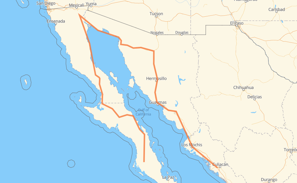
The distance from Ciudad Constitucion to Campo Balbuena is 1,538 miles by road including 508 miles on motorways. Road takes approximately 30 hours and 27 minutes and goes through Heroica Caborca, Hermosillo, Navojoa, Los Mochis and Gabriel Leyva Solano.
You can adjust fuel consumption and fuel price here.
Toll roads cost:
670 + ? MXN
How long is a car ride from Ciudad Constitucion to Campo Balbuena?
Driving time:
30 h 27 min
This time is calculated for driving at the maximum permitted speed, taking into account traffic rules restrictions.
158 mi with a maximum speed 68 mph = 2 h 19 min
149 mi with a maximum speed 62 mph = 2 h 23 min
367 mi with a maximum speed 56 mph = 6 h 33 min
263 mi with a maximum speed 56 mph = 4 h 42 min
494 mi with a maximum speed 50 mph = 9 h 56 min
58 mi with a maximum speed 43 mph = 1 h 19 min
25 mi with a maximum speed 37 mph = 39 min
3 mi with a maximum speed 31 mph = 6 min
1 mi with a maximum speed 25 mph = 3 min
29 mi with a maximum speed 12 mph = 2 h 18 min
1 mi with a maximum speed 6 mph = 6 min
The calculated driving time does not take into account intermediate stops and traffic jams.
How far is Ciudad Constitucion to Campo Balbuena by land?
The distance between Ciudad Constitucion and Campo Balbuena is 1,537.9 mi by road including 507.7 mi on motorways.
Precise satellite coordinates of highways were used for this calculation. The start and finish points are the centers of Ciudad Constitucion and Campo Balbuena respectively.
How far is Ciudad Constitucion to Campo Balbuena by plane?
The shortest distance (air line, as the crow flies) between Ciudad Constitucion and Campo Balbuena is 259.1 mi.
This distance is calculated using the Haversine formula as a great-circle distance between two points on the surface of a sphere. The start and finish points are the centers of Ciudad Constitucion and Campo Balbuena respectively. Actual distance between airports may be different.
How many hours is Ciudad Constitucion from Campo Balbuena by plane?
Boeing 737 airliner needs 31 min to cover the distance of 259 mi at a cruising speed of 497 mph.
Small plane "Cessna 172" needs 1 h 53 min to flight this distance at average speed of 136 mph.
This time is approximate and do not take into account takeoff and landing times, airport location and other real world factors.
How long is a helicopter ride from Ciudad Constitucion to Campo Balbuena?
Fast helicopter "Eurocopter AS350" or "Hughes OH-6 Cayuse" need 1 h 44 min to cover the distance of 259 mi at a cruising speed of 149 mph.
Popular "Robinson R44" needs 1 h 59 min to flight this distance at average speed of 130 mph.
This time is approximate and do not take into account takeoff and landing times, aerodrome location and other real world factors.
What city is halfway between Ciudad Constitucion and Campo Balbuena?
The halfway point between Ciudad Constitucion and Campo Balbuena is Las Salinas. It is located about 19 mi from the exact midpoint by road.
The distance from Las Salinas to Ciudad Constitucion is 788 mi and driving will take about 16 h 48 min. The road between Las Salinas and Campo Balbuena has length 750 mi and will take approximately 13 h 39 min.
The other cities located close to halfway point:
Ejido Lagos de Moreno is in 746 mi from Ciudad Constitucion and 792 mi from Campo Balbuena
Flor del Desierto is in 727 mi from Ciudad Constitucion and 811 mi from Campo Balbuena
Mesa Rica Dos is in 718 mi from Ciudad Constitucion and 820 mi from Campo Balbuena
Where is Ciudad Constitucion in relation to Campo Balbuena?
Ciudad Constitucion is located 259 mi west of Campo Balbuena.
Ciudad Constitucion has geographic coordinates: latitude 25.03371, longitude -111.66626.
Campo Balbuena has geographic coordinates: latitude 24.74696, longitude -107.54898.
Which highway goes from Ciudad Constitucion to Campo Balbuena?
The route from Ciudad Constitucion to Campo Balbuena follows MEX 15D, MEX 1, MEX 5, SON 003, BCS 53, BC 5, SON 3.