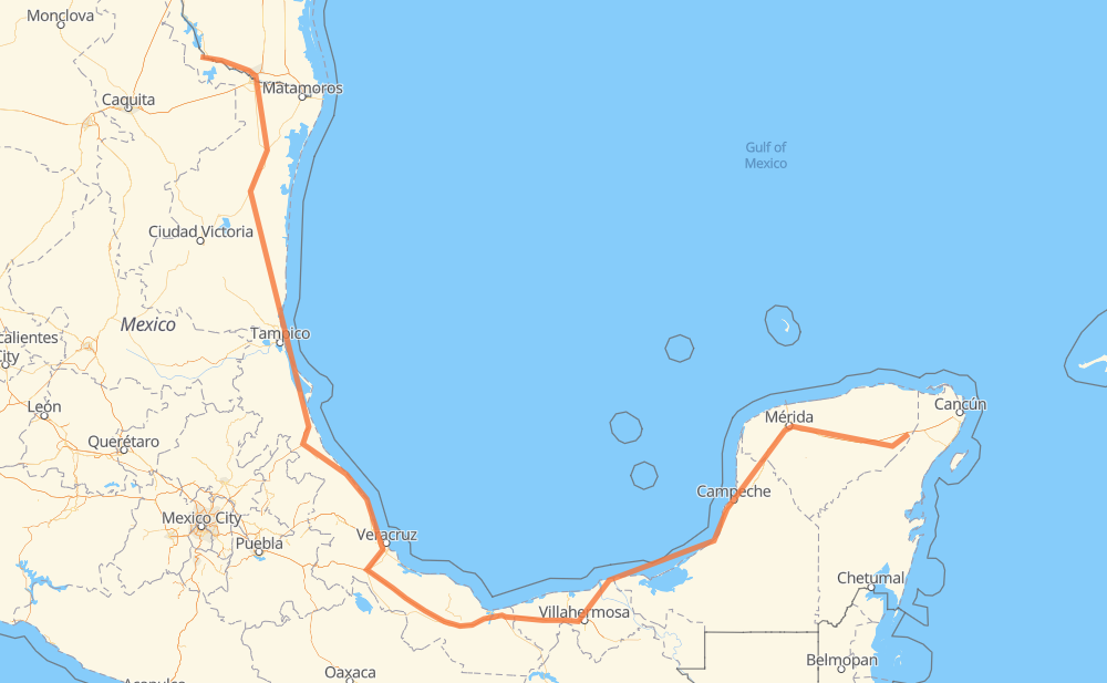
The distance from Ciudad Mier to Santa Cruz is 1,434 miles by road including 411 miles on motorways. Road takes approximately 26 hours and 20 minutes and goes through McAllen, Reynosa, Aldama, Ciudad Madero, Mérida and Kanasín.
You can adjust fuel consumption and fuel price here.
Toll roads cost:
1,283 + ? MXN
How long is a car ride from Ciudad Mier to Santa Cruz?
Driving time:
26 h 20 min
This time is calculated for driving at the maximum permitted speed, taking into account traffic rules restrictions.
89 mi with a maximum speed 68 mph = 1 h 19 min
6 mi with a maximum speed 65 mph = 5 min
253 mi with a maximum speed 62 mph = 4 h 4 min
263 mi with a maximum speed 56 mph = 4 h 41 min
252 mi with a maximum speed 56 mph = 4 h 30 min
4 mi with a maximum speed 55 mph = 3 min
562 mi with a maximum speed 50 mph = 11 h 18 min
4 mi with a maximum speed 37 mph = 6 min
3 mi with a maximum speed 31 mph = 5 min
2 mi with a maximum speed 25 mph = 5 min
The calculated driving time does not take into account intermediate stops and traffic jams.
How far is Ciudad Mier to Santa Cruz by land?
The distance between Ciudad Mier and Santa Cruz is 1,433.5 mi by road including 411.3 mi on motorways.
Precise satellite coordinates of highways were used for this calculation. The start and finish points are the centers of Ciudad Mier and Santa Cruz respectively.
How far is Ciudad Mier to Santa Cruz by plane?
The shortest distance (air line, as the crow flies) between Ciudad Mier and Santa Cruz is 817.7 mi.
This distance is calculated using the Haversine formula as a great-circle distance between two points on the surface of a sphere. The start and finish points are the centers of Ciudad Mier and Santa Cruz respectively. Actual distance between airports may be different.
How many hours is Ciudad Mier from Santa Cruz by plane?
Boeing 737 airliner needs 1 h 38 min to cover the distance of 818 mi at a cruising speed of 497 mph.
Small plane "Cessna 172" needs 5 h 58 min to flight this distance at average speed of 136 mph.
This time is approximate and do not take into account takeoff and landing times, airport location and other real world factors.
How long is a helicopter ride from Ciudad Mier to Santa Cruz?
Fast helicopter "Eurocopter AS350" or "Hughes OH-6 Cayuse" need 5 h 29 min to cover the distance of 818 mi at a cruising speed of 149 mph.
Popular "Robinson R44" needs 6 h 16 min to flight this distance at average speed of 130 mph.
This time is approximate and do not take into account takeoff and landing times, aerodrome location and other real world factors.
What city is halfway between Ciudad Mier and Santa Cruz?
The halfway point between Ciudad Mier and Santa Cruz is Piedra Herrada. It is located about 11 mi from the exact midpoint by road.
The distance from Piedra Herrada to Ciudad Mier is 705 mi and driving will take about 13 h 10 min. The road between Piedra Herrada and Santa Cruz has length 728 mi and will take approximately 13 h 10 min.
The other cities located close to halfway point:
El Barrio is in 732 mi from Ciudad Mier and 702 mi from Santa Cruz
San Antonio is in 701 mi from Ciudad Mier and 733 mi from Santa Cruz
Las Limas is in 697 mi from Ciudad Mier and 736 mi from Santa Cruz
Where is Ciudad Mier in relation to Santa Cruz?
Ciudad Mier is located 818 mi north-west of Santa Cruz.
Ciudad Mier has geographic coordinates: latitude 26.43064, longitude -99.1482.
Santa Cruz has geographic coordinates: latitude 20.84982, longitude -87.74801.
Which highway goes from Ciudad Mier to Santa Cruz?
The route from Ciudad Mier to Santa Cruz follows MEX 180, MEX 180D, MEX 145D, MEX 97.