Distance between Des Plaines IL and Decker Lake BC
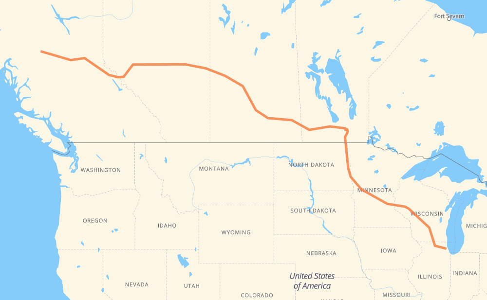
The distance from Des Plaines to Decker Lake is 2,284 miles by road including 838 miles on motorways. Road takes approximately 39 hours and 34 minutes and goes through Janesville, Madison, Eau Claire, Fargo, Grand Forks, Winnipeg and Portage la Prairie.
You can adjust fuel consumption and fuel price here.
How long is a car ride from Des Plaines to Decker Lake?
Driving time:
39 h 34 min
This time is calculated for driving at the maximum permitted speed, taking into account traffic rules restrictions.
603 mi with a maximum speed 68 mph = 8 h 52 min
17 mi with a maximum speed 65 mph = 15 min
63 mi with a maximum speed 62 mph = 1 h
30 mi with a maximum speed 60 mph = 30 min
1,107 mi with a maximum speed 56 mph = 19 h 46 min
203 mi with a maximum speed 56 mph = 3 h 37 min
10 mi with a maximum speed 55 mph = 11 min
198 mi with a maximum speed 50 mph = 3 h 58 min
29 mi with a maximum speed 43 mph = 39 min
9 mi with a maximum speed 37 mph = 14 min
1 mi with a maximum speed 35 mph = 1 min
14 mi with a maximum speed 31 mph = 26 min
The calculated driving time does not take into account intermediate stops and traffic jams.
How far is Des Plaines to Decker Lake by land?
The distance between Des Plaines and Decker Lake is 2,283.5 mi by road including 837.6 mi on motorways.
Precise satellite coordinates of highways were used for this calculation. The start and finish points are the centers of Des Plaines and Decker Lake respectively.
How far is Des Plaines to Decker Lake by plane?
The shortest distance (air line, as the crow flies) between Des Plaines and Decker Lake is 1,912.6 mi.
This distance is calculated using the Haversine formula as a great-circle distance between two points on the surface of a sphere. The start and finish points are the centers of Des Plaines and Decker Lake respectively. Actual distance between airports may be different.
How many hours is Des Plaines from Decker Lake by plane?
Boeing 737 airliner needs 3 h 50 min to cover the distance of 1,913 mi at a cruising speed of 497 mph.
Small plane "Cessna 172" needs 13 h 59 min to flight this distance at average speed of 136 mph.
This time is approximate and do not take into account takeoff and landing times, airport location and other real world factors.
How long is a helicopter ride from Des Plaines to Decker Lake?
Fast helicopter "Eurocopter AS350" or "Hughes OH-6 Cayuse" need 12 h 49 min to cover the distance of 1,913 mi at a cruising speed of 149 mph.
Popular "Robinson R44" needs 14 h 39 min to flight this distance at average speed of 130 mph.
This time is approximate and do not take into account takeoff and landing times, aerodrome location and other real world factors.
What city is halfway between Des Plaines and Decker Lake?
The halfway point between Des Plaines and Decker Lake is Wolseley. It is located about 4 mi from the exact midpoint by road.
The distance from Wolseley to Des Plaines is 1,138 mi and driving will take about 18 h 35 min. The road between Wolseley and Decker Lake has length 1,146 mi and will take approximately 20 h 58 min.
The other cities located close to halfway point:
Indian Head is in 1,148 mi from Des Plaines and 1,135 mi from Decker Lake
Grenfell is in 1,125 mi from Des Plaines and 1,159 mi from Decker Lake
Qu'Appelle is in 1,169 mi from Des Plaines and 1,114 mi from Decker Lake
Where is Des Plaines in relation to Decker Lake?
Des Plaines is located 1,913 mi south-east of Decker Lake.
Des Plaines has geographic coordinates: latitude 42.04158, longitude -87.88739.
Decker Lake has geographic coordinates: latitude 54.29245, longitude -125.83194.
Which highway goes from Des Plaines to Decker Lake?
The route from Des Plaines to Decker Lake follows 16, I 94, I 90, PTH 1, 11, I 29, 1, US 81, I 39.