Distance between Edmonton AB and Vadnais Heights MN
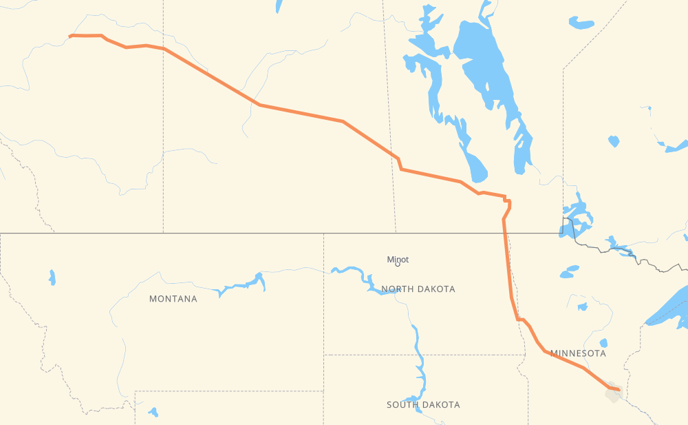
The distance from Edmonton to Vadnais Heights is 1,269 miles by road including 418 miles on motorways. Road takes approximately 22 hours and 30 minutes and goes through Lloydminster, North Battleford, Saskatoon, Yorkton, Portage la Prairie, Winnipeg and Grand Forks.
You can adjust fuel consumption and fuel price here.
How long is a car ride from Edmonton to Vadnais Heights?
Driving time:
22 h 30 min
This time is calculated for driving at the maximum permitted speed, taking into account traffic rules restrictions.
161 mi with a maximum speed 68 mph = 2 h 22 min
143 mi with a maximum speed 62 mph = 2 h 18 min
9 mi with a maximum speed 60 mph = 9 min
740 mi with a maximum speed 56 mph = 13 h 12 min
12 mi with a maximum speed 56 mph = 13 min
11 mi with a maximum speed 55 mph = 11 min
174 mi with a maximum speed 50 mph = 3 h 29 min
4 mi with a maximum speed 43 mph = 6 min
6 mi with a maximum speed 37 mph = 8 min
9 mi with a maximum speed 31 mph = 18 min
The calculated driving time does not take into account intermediate stops and traffic jams.
How far is Edmonton to Vadnais Heights by land?
The distance between Edmonton and Vadnais Heights is 1,269.5 mi by road including 417.6 mi on motorways.
Precise satellite coordinates of highways were used for this calculation. The start and finish points are the centers of Edmonton and Vadnais Heights respectively.
How far is Edmonton to Vadnais Heights by plane?
The shortest distance (air line, as the crow flies) between Edmonton and Vadnais Heights is 1,085.5 mi.
This distance is calculated using the Haversine formula as a great-circle distance between two points on the surface of a sphere. The start and finish points are the centers of Edmonton and Vadnais Heights respectively. Actual distance between airports may be different.
How many hours is Edmonton from Vadnais Heights by plane?
Boeing 737 airliner needs 2 h 11 min to cover the distance of 1,086 mi at a cruising speed of 497 mph.
Small plane "Cessna 172" needs 7 h 56 min to flight this distance at average speed of 136 mph.
This time is approximate and do not take into account takeoff and landing times, airport location and other real world factors.
How long is a helicopter ride from Edmonton to Vadnais Heights?
Fast helicopter "Eurocopter AS350" or "Hughes OH-6 Cayuse" need 7 h 16 min to cover the distance of 1,086 mi at a cruising speed of 149 mph.
Popular "Robinson R44" needs 8 h 19 min to flight this distance at average speed of 130 mph.
This time is approximate and do not take into account takeoff and landing times, aerodrome location and other real world factors.
What city is halfway between Edmonton and Vadnais Heights?
The halfway point between Edmonton and Vadnais Heights is Kelloe.
The distance from Kelloe to Edmonton is 634 mi and driving will take about 11 h 30 min. The road between Kelloe and Vadnais Heights has length 635 mi and will take approximately 11 h.
The other cities located close to halfway point:
Shoal Lake is in 642 mi from Edmonton and 628 mi from Vadnais Heights
Strathclair is in 647 mi from Edmonton and 622 mi from Vadnais Heights
Newdale is in 662 mi from Edmonton and 608 mi from Vadnais Heights
Where is Edmonton in relation to Vadnais Heights?
Edmonton is located 1,086 mi north-west of Vadnais Heights.
Edmonton has geographic coordinates: latitude 53.53541, longitude -113.508.
Vadnais Heights has geographic coordinates: latitude 45.05747, longitude -93.07383.
Which highway goes from Edmonton to Vadnais Heights?
The route from Edmonton to Vadnais Heights follows 16, I 94, PTH 16, I 29, US 81.