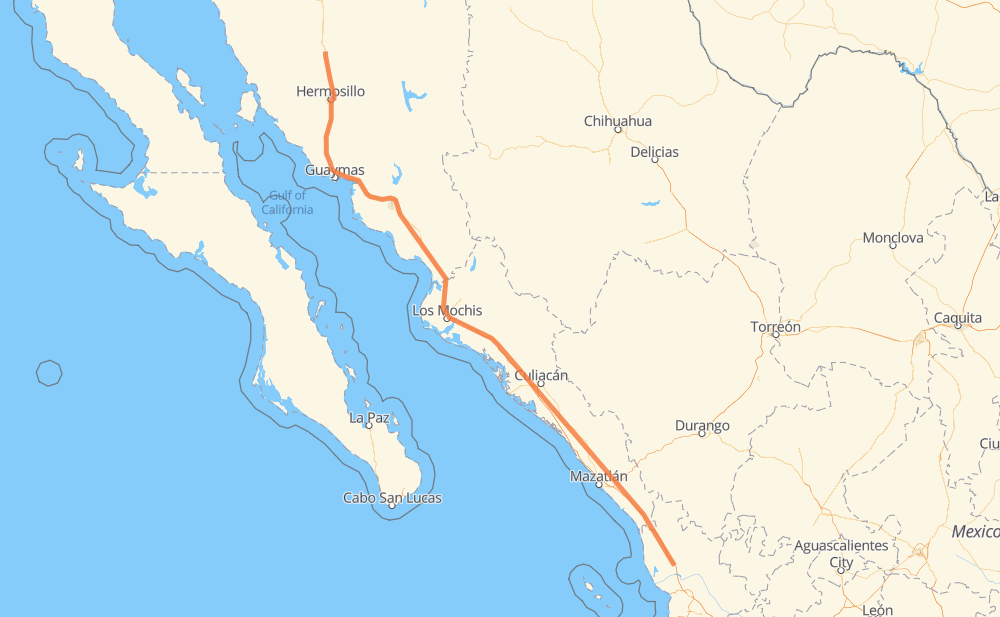
The distance from Guadalajara to Tijuanita is 742 miles by road including 680 miles on motorways. Road takes approximately 13 hours and 12 minutes and goes through Hermosillo, Navojoa, Los Mochis, Gabriel Leyva Solano and Dimas (Estación Dimas).
You can adjust fuel consumption and fuel price here.
Toll roads cost:
1,064 + ? MXN
How long is a car ride from Guadalajara to Tijuanita?
Driving time:
13 h 12 min
This time is calculated for driving at the maximum permitted speed, taking into account traffic rules restrictions.
149 mi with a maximum speed 68 mph = 2 h 11 min
230 mi with a maximum speed 62 mph = 3 h 42 min
11 mi with a maximum speed 56 mph = 10 min
60 mi with a maximum speed 56 mph = 1 h 4 min
281 mi with a maximum speed 50 mph = 5 h 38 min
9 mi with a maximum speed 37 mph = 13 min
2 mi with a maximum speed 31 mph = 4 min
1 mi with a maximum speed 6 mph = 6 min
The calculated driving time does not take into account intermediate stops and traffic jams.
How far is Guadalajara to Tijuanita by land?
The distance between Guadalajara and Tijuanita is 741.9 mi by road including 679.8 mi on motorways.
Precise satellite coordinates of highways were used for this calculation. The start and finish points are the centers of Guadalajara and Tijuanita respectively.
How far is Guadalajara to Tijuanita by plane?
The shortest distance (air line, as the crow flies) between Guadalajara and Tijuanita is 652.4 mi.
This distance is calculated using the Haversine formula as a great-circle distance between two points on the surface of a sphere. The start and finish points are the centers of Guadalajara and Tijuanita respectively. Actual distance between airports may be different.
How many hours is Guadalajara from Tijuanita by plane?
Boeing 737 airliner needs 1 h 18 min to cover the distance of 652 mi at a cruising speed of 497 mph.
Small plane "Cessna 172" needs 4 h 46 min to flight this distance at average speed of 136 mph.
This time is approximate and do not take into account takeoff and landing times, airport location and other real world factors.
How long is a helicopter ride from Guadalajara to Tijuanita?
Fast helicopter "Eurocopter AS350" or "Hughes OH-6 Cayuse" need 4 h 22 min to cover the distance of 652 mi at a cruising speed of 149 mph.
Popular "Robinson R44" needs 5 h to flight this distance at average speed of 130 mph.
This time is approximate and do not take into account takeoff and landing times, aerodrome location and other real world factors.
What city is halfway between Guadalajara and Tijuanita?
The halfway point between Guadalajara and Tijuanita is Juan José Ríos. It is located about 2 mi from the exact midpoint by road.
The distance from Juan José Ríos to Guadalajara is 373 mi and driving will take about 6 h 38 min. The road between Juan José Ríos and Tijuanita has length 368 mi and will take approximately 6 h 34 min.
The other cities located close to halfway point:
Guayparime is in 376 mi from Guadalajara and 366 mi from Tijuanita
Adolfo Ruiz Cortines is in 379 mi from Guadalajara and 363 mi from Tijuanita
Los Mochis is in 362 mi from Guadalajara and 380 mi from Tijuanita
Where is Guadalajara in relation to Tijuanita?
Guadalajara is located 652 mi north-west of Tijuanita.
Guadalajara has geographic coordinates: latitude 29.75767, longitude -111.05267.
Tijuanita has geographic coordinates: latitude 21.95581, longitude -105.1299.
Which highway goes from Guadalajara to Tijuanita?
The route from Guadalajara to Tijuanita follows MEX 15D.