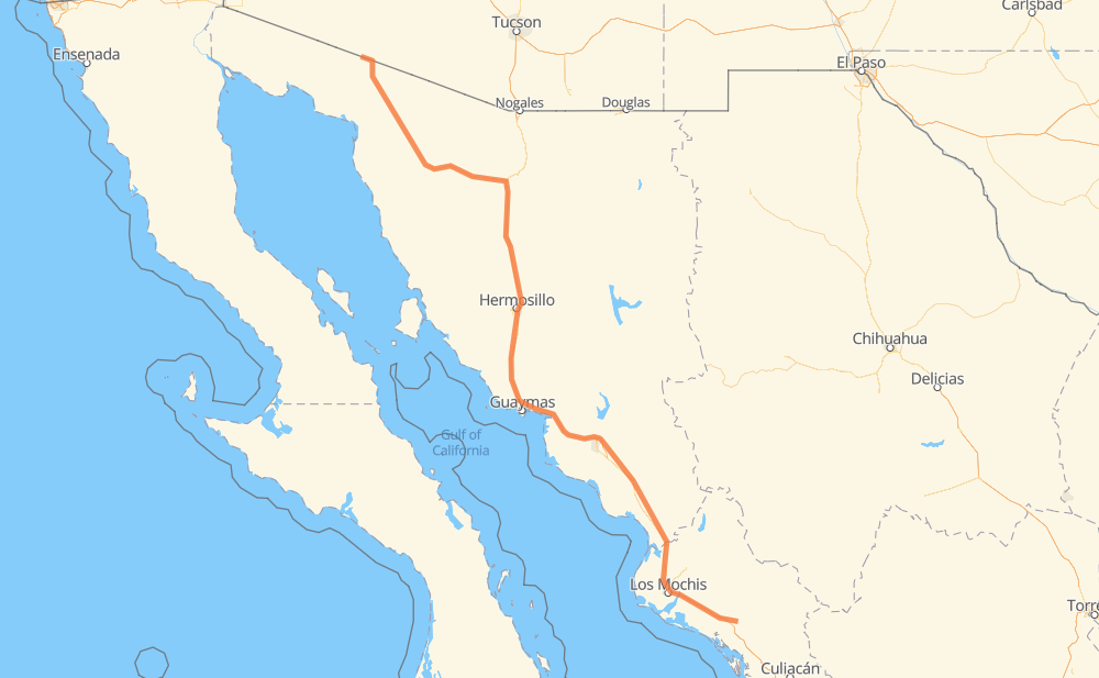
The distance from Guamuchil to El Papalote is 636 miles by road including 437 miles on motorways. Road takes approximately 11 hours and 28 minutes and goes through Gabriel Leyva Solano, Los Mochis, Navojoa, Hermosillo and Heroica Caborca.
You can adjust fuel consumption and fuel price here.
Toll roads cost:
521 + ? MXN
How long is a car ride from Guamuchil to El Papalote?
Driving time:
11 h 28 min
This time is calculated for driving at the maximum permitted speed, taking into account traffic rules restrictions.
134 mi with a maximum speed 68 mph = 1 h 58 min
126 mi with a maximum speed 62 mph = 2 h
22 mi with a maximum speed 56 mph = 23 min
87 mi with a maximum speed 56 mph = 1 h 33 min
252 mi with a maximum speed 50 mph = 5 h 4 min
12 mi with a maximum speed 37 mph = 19 min
2 mi with a maximum speed 31 mph = 4 min
1 mi with a maximum speed 25 mph = 3 min
The calculated driving time does not take into account intermediate stops and traffic jams.
How far is Guamuchil to El Papalote by land?
The distance between Guamuchil and El Papalote is 636.3 mi by road including 437.4 mi on motorways.
Precise satellite coordinates of highways were used for this calculation. The start and finish points are the centers of Guamuchil and El Papalote respectively.
How far is Guamuchil to El Papalote by plane?
The shortest distance (air line, as the crow flies) between Guamuchil and El Papalote is 538.7 mi.
This distance is calculated using the Haversine formula as a great-circle distance between two points on the surface of a sphere. The start and finish points are the centers of Guamuchil and El Papalote respectively. Actual distance between airports may be different.
How many hours is Guamuchil from El Papalote by plane?
Boeing 737 airliner needs 1 h 5 min to cover the distance of 539 mi at a cruising speed of 497 mph.
Small plane "Cessna 172" needs 3 h 56 min to flight this distance at average speed of 136 mph.
This time is approximate and do not take into account takeoff and landing times, airport location and other real world factors.
How long is a helicopter ride from Guamuchil to El Papalote?
Fast helicopter "Eurocopter AS350" or "Hughes OH-6 Cayuse" need 3 h 36 min to cover the distance of 539 mi at a cruising speed of 149 mph.
Popular "Robinson R44" needs 4 h 7 min to flight this distance at average speed of 130 mph.
This time is approximate and do not take into account takeoff and landing times, aerodrome location and other real world factors.
What city is halfway between Guamuchil and El Papalote?
The halfway point between Guamuchil and El Papalote is San Lorenzo. It is located about 7 mi from the exact midpoint by road.
The distance from San Lorenzo to Guamuchil is 311 mi and driving will take about 5 h 43 min. The road between San Lorenzo and El Papalote has length 325 mi and will take approximately 5 h 45 min.
The other cities located close to halfway point:
La Palma (Rancho) is in 326 mi from Guamuchil and 310 mi from El Papalote
La Bandera Uno is in 306 mi from Guamuchil and 330 mi from El Papalote
San Emeterio is in 299 mi from Guamuchil and 337 mi from El Papalote
Where is Guamuchil in relation to El Papalote?
Guamuchil is located 539 mi south-east of El Papalote.
Guamuchil has geographic coordinates: latitude 25.45756, longitude -108.07558.
El Papalote has geographic coordinates: latitude 31.93788, longitude -113.01272.
Which highway goes from Guamuchil to El Papalote?
The route from Guamuchil to El Papalote follows MEX 15D, MEX 2.