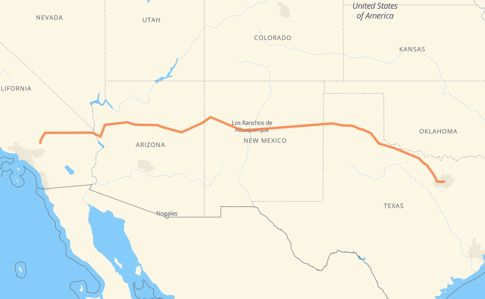
The distance from Hesperia to Irving is 1,348 miles by road including 1,097 miles on motorways. Road takes approximately 21 hours and goes through Victorville, Flagstaff, Amarillo, Apple Valley, Barstow, Needles and Kingman.
You can adjust fuel consumption and fuel price here.
How long is a car ride from Hesperia to Irving?
Driving time:
21 h
This time is calculated for driving at the maximum permitted speed, taking into account traffic rules restrictions.
994 mi with a maximum speed 68 mph = 14 h 36 min
42 mi with a maximum speed 65 mph = 39 min
32 mi with a maximum speed 62 mph = 31 min
19 mi with a maximum speed 60 mph = 18 min
157 mi with a maximum speed 56 mph = 2 h 47 min
2 mi with a maximum speed 55 mph = 2 min
100 mi with a maximum speed 50 mph = 2 h 1 min
1 mi with a maximum speed 40 mph = 1 min
1 mi with a maximum speed 31 mph = 2 min
The calculated driving time does not take into account intermediate stops and traffic jams.
How far is Hesperia to Irving by land?
The distance between Hesperia and Irving is 1,347.8 mi by road including 1,096.7 mi on motorways.
Precise satellite coordinates of highways were used for this calculation. The start and finish points are the centers of Hesperia and Irving respectively.
How far is Hesperia to Irving by plane?
The shortest distance (air line, as the crow flies) between Hesperia and Irving is 1,174.4 mi.
This distance is calculated using the Haversine formula as a great-circle distance between two points on the surface of a sphere. The start and finish points are the centers of Hesperia and Irving respectively. Actual distance between airports may be different.
How many hours is Hesperia from Irving by plane?
Boeing 737 airliner needs 2 h 21 min to cover the distance of 1,174 mi at a cruising speed of 497 mph.
Small plane "Cessna 172" needs 8 h 35 min to flight this distance at average speed of 136 mph.
This time is approximate and do not take into account takeoff and landing times, airport location and other real world factors.
How long is a helicopter ride from Hesperia to Irving?
Fast helicopter "Eurocopter AS350" or "Hughes OH-6 Cayuse" need 7 h 52 min to cover the distance of 1,174 mi at a cruising speed of 149 mph.
Popular "Robinson R44" needs 9 h to flight this distance at average speed of 130 mph.
This time is approximate and do not take into account takeoff and landing times, aerodrome location and other real world factors.
What city is halfway between Hesperia and Irving?
The halfway point between Hesperia and Irving is El Rito. It is located about 2 mi from the exact midpoint by road.
The distance from El Rito to Hesperia is 672 mi and driving will take about 9 h 55 min. The road between El Rito and Irving has length 677 mi and will take approximately 11 h 4 min.
The other cities located close to halfway point:
Laguna is in 663 mi from Hesperia and 685 mi from Irving
New York is in 656 mi from Hesperia and 692 mi from Irving
Grants is in 639 mi from Hesperia and 709 mi from Irving
Where is Hesperia in relation to Irving?
Hesperia is located 1,174 mi west of Irving.
Hesperia has geographic coordinates: latitude 34.42639, longitude -117.30088.
Irving has geographic coordinates: latitude 32.82952, longitude -96.94422.
Which highway goes from Hesperia to Irving?
The route from Hesperia to Irving follows I 40, US 287, US 180.