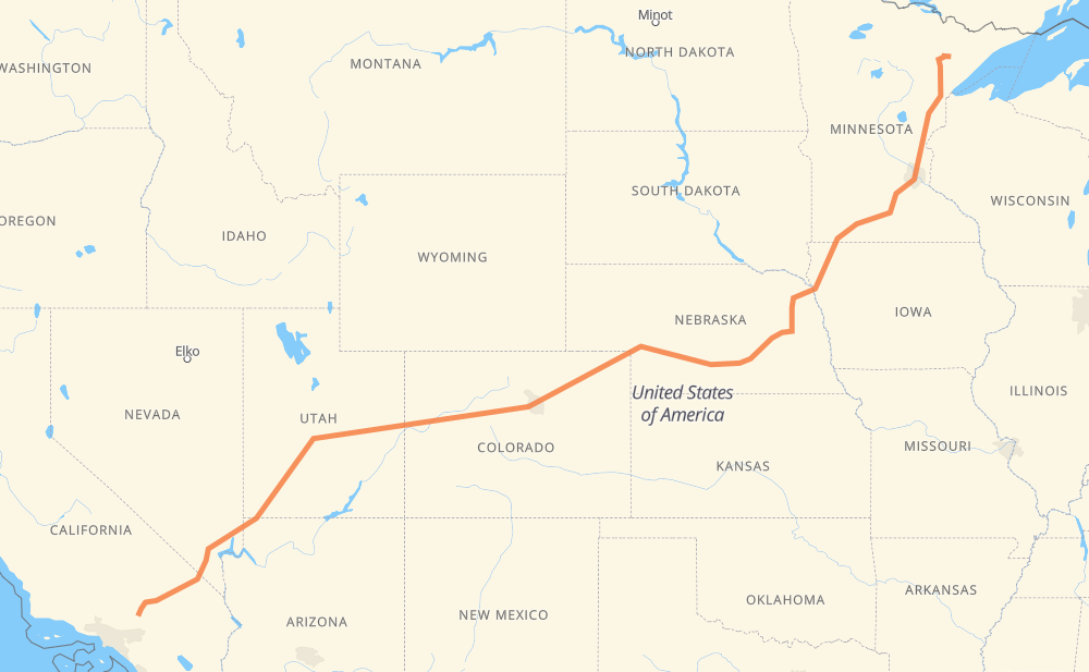
The distance from Hoyt Lakes to Victorville is 2,002 miles by road including 1,550 miles on motorways. Road takes approximately 31 hours and 45 minutes and goes through Minneapolis, Sioux City, Columbus, Grand Island, North Platte, Denver and Vail.
You can adjust fuel consumption and fuel price here.
How long is a car ride from Hoyt Lakes to Victorville?
Driving time:
31 h 45 min
This time is calculated for driving at the maximum permitted speed, taking into account traffic rules restrictions.
1,191 mi with a maximum speed 68 mph = 17 h 31 min
177 mi with a maximum speed 65 mph = 2 h 43 min
70 mi with a maximum speed 62 mph = 1 h 7 min
23 mi with a maximum speed 60 mph = 23 min
386 mi with a maximum speed 56 mph = 6 h 53 min
57 mi with a maximum speed 55 mph = 1 h 1 min
12 mi with a maximum speed 50 mph = 14 min
68 mi with a maximum speed 50 mph = 1 h 22 min
9 mi with a maximum speed 45 mph = 12 min
2 mi with a maximum speed 40 mph = 3 min
2 mi with a maximum speed 35 mph = 3 min
1 mi with a maximum speed 31 mph = 1 min
3 mi with a maximum speed 30 mph = 6 min
The calculated driving time does not take into account intermediate stops and traffic jams.
How far is Hoyt Lakes to Victorville by land?
The distance between Hoyt Lakes and Victorville is 2,002.1 mi by road including 1,549.7 mi on motorways.
Precise satellite coordinates of highways were used for this calculation. The start and finish points are the centers of Hoyt Lakes and Victorville respectively.
How far is Hoyt Lakes to Victorville by plane?
The shortest distance (air line, as the crow flies) between Hoyt Lakes and Victorville is 1,577.7 mi.
This distance is calculated using the Haversine formula as a great-circle distance between two points on the surface of a sphere. The start and finish points are the centers of Hoyt Lakes and Victorville respectively. Actual distance between airports may be different.
How many hours is Hoyt Lakes from Victorville by plane?
Boeing 737 airliner needs 3 h 10 min to cover the distance of 1,578 mi at a cruising speed of 497 mph.
Small plane "Cessna 172" needs 11 h 32 min to flight this distance at average speed of 136 mph.
This time is approximate and do not take into account takeoff and landing times, airport location and other real world factors.
How long is a helicopter ride from Hoyt Lakes to Victorville?
Fast helicopter "Eurocopter AS350" or "Hughes OH-6 Cayuse" need 10 h 34 min to cover the distance of 1,578 mi at a cruising speed of 149 mph.
Popular "Robinson R44" needs 12 h 5 min to flight this distance at average speed of 130 mph.
This time is approximate and do not take into account takeoff and landing times, aerodrome location and other real world factors.
What city is halfway between Hoyt Lakes and Victorville?
The halfway point between Hoyt Lakes and Victorville is Log Lane Village. It is located about 8 mi from the exact midpoint by road.
The distance from Log Lane Village to Hoyt Lakes is 993 mi and driving will take about 16 h 22 min. The road between Log Lane Village and Victorville has length 1,009 mi and will take approximately 15 h 22 min.
The other cities located close to halfway point:
Fort Morgan is in 990 mi from Hoyt Lakes and 1,012 mi from Victorville
Brush is in 982 mi from Hoyt Lakes and 1,020 mi from Victorville
Keenesburg is in 1,028 mi from Hoyt Lakes and 973 mi from Victorville
Where is Hoyt Lakes in relation to Victorville?
Hoyt Lakes is located 1,578 mi north-east of Victorville.
Hoyt Lakes has geographic coordinates: latitude 47.51965, longitude -92.13851.
Victorville has geographic coordinates: latitude 34.53611, longitude -117.29116.
Which highway goes from Hoyt Lakes to Victorville?
The route from Hoyt Lakes to Victorville follows I 70, I 15, US 6, I 80, I 76, US 50, I 35, MN 60, US 30, US 169.