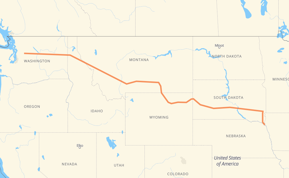
The distance from Jefferson to Index is 1,581 miles by road including 1,451 miles on motorways. Road takes approximately 24 hours and 10 minutes and goes through Sioux Falls, Mitchell, Box Elder, Rapid City, Spearfish, Gillette and Sheridan.
You can adjust fuel consumption and fuel price here.
How long is a car ride from Jefferson to Index?
Driving time:
24 h 10 min
This time is calculated for driving at the maximum permitted speed, taking into account traffic rules restrictions.
1,205 mi with a maximum speed 68 mph = 17 h 43 min
89 mi with a maximum speed 65 mph = 1 h 22 min
107 mi with a maximum speed 62 mph = 1 h 42 min
21 mi with a maximum speed 60 mph = 21 min
103 mi with a maximum speed 56 mph = 1 h 49 min
4 mi with a maximum speed 55 mph = 4 min
14 mi with a maximum speed 50 mph = 16 min
29 mi with a maximum speed 50 mph = 34 min
2 mi with a maximum speed 45 mph = 3 min
6 mi with a maximum speed 40 mph = 9 min
2 mi with a maximum speed 30 mph = 3 min
The calculated driving time does not take into account intermediate stops and traffic jams.
How far is Jefferson to Index by land?
The distance between Jefferson and Index is 1,580.8 mi by road including 1,450.9 mi on motorways.
Precise satellite coordinates of highways were used for this calculation. The start and finish points are the centers of Jefferson and Index respectively.
How far is Jefferson to Index by plane?
The shortest distance (air line, as the crow flies) between Jefferson and Index is 1,263.2 mi.
This distance is calculated using the Haversine formula as a great-circle distance between two points on the surface of a sphere. The start and finish points are the centers of Jefferson and Index respectively. Actual distance between airports may be different.
How many hours is Jefferson from Index by plane?
Boeing 737 airliner needs 2 h 32 min to cover the distance of 1,263 mi at a cruising speed of 497 mph.
Small plane "Cessna 172" needs 9 h 14 min to flight this distance at average speed of 136 mph.
This time is approximate and do not take into account takeoff and landing times, airport location and other real world factors.
How long is a helicopter ride from Jefferson to Index?
Fast helicopter "Eurocopter AS350" or "Hughes OH-6 Cayuse" need 8 h 28 min to cover the distance of 1,263 mi at a cruising speed of 149 mph.
Popular "Robinson R44" needs 9 h 40 min to flight this distance at average speed of 130 mph.
This time is approximate and do not take into account takeoff and landing times, aerodrome location and other real world factors.
What city is halfway between Jefferson and Index?
The halfway point between Jefferson and Index is Yegen. It is located about 2 mi from the exact midpoint by road.
The distance from Yegen to Jefferson is 793 mi and driving will take about 11 h 56 min. The road between Yegen and Index has length 788 mi and will take approximately 12 h 13 min.
The other cities located close to halfway point:
Billings is in 786 mi from Jefferson and 795 mi from Index
Laurel is in 799 mi from Jefferson and 782 mi from Index
Spurling is in 804 mi from Jefferson and 777 mi from Index
Where is Jefferson in relation to Index?
Jefferson is located 1,263 mi east of Index.
Jefferson has geographic coordinates: latitude 42.6025, longitude -96.5592.
Index has geographic coordinates: latitude 47.82083, longitude -121.55389.
Which highway goes from Jefferson to Index?
The route from Jefferson to Index follows I 90, US 14, US 87, US 2, US 212, I 29, US 12.