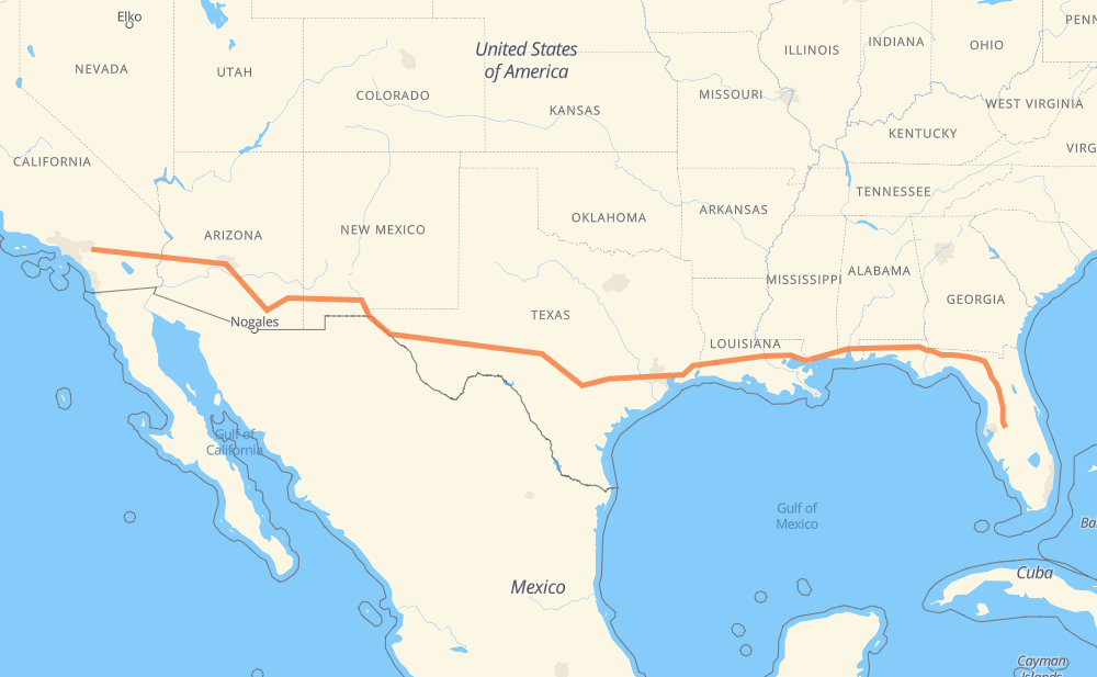
The distance from Lakeland to Moreno Valley is 2,456 miles by road including 2,391 miles on motorways. Road takes approximately 37 hours and 40 minutes and goes through Ocala, Gainesville, Tallahassee, Pensacola, Mobile, Biloxi and Gulfport.
You can adjust fuel consumption and fuel price here.
How long is a car ride from Lakeland to Moreno Valley?
Driving time:
37 h 40 min
This time is calculated for driving at the maximum permitted speed, taking into account traffic rules restrictions.
1,788 mi with a maximum speed 68 mph = 26 h 18 min
174 mi with a maximum speed 65 mph = 2 h 40 min
219 mi with a maximum speed 62 mph = 3 h 31 min
75 mi with a maximum speed 60 mph = 1 h 14 min
36 mi with a maximum speed 56 mph = 38 min
29 mi with a maximum speed 55 mph = 32 min
4 mi with a maximum speed 50 mph = 5 min
120 mi with a maximum speed 50 mph = 2 h 25 min
6 mi with a maximum speed 45 mph = 7 min
1 mi with a maximum speed 40 mph = 1 min
2 mi with a maximum speed 35 mph = 3 min
The calculated driving time does not take into account intermediate stops and traffic jams.
How far is Lakeland to Moreno Valley by land?
The distance between Lakeland and Moreno Valley is 2,455.7 mi by road including 2,391 mi on motorways.
Precise satellite coordinates of highways were used for this calculation. The start and finish points are the centers of Lakeland and Moreno Valley respectively.
How far is Lakeland to Moreno Valley by plane?
The shortest distance (air line, as the crow flies) between Lakeland and Moreno Valley is 2,118.9 mi.
This distance is calculated using the Haversine formula as a great-circle distance between two points on the surface of a sphere. The start and finish points are the centers of Lakeland and Moreno Valley respectively. Actual distance between airports may be different.
How many hours is Lakeland from Moreno Valley by plane?
Boeing 737 airliner needs 4 h 15 min to cover the distance of 2,119 mi at a cruising speed of 497 mph.
Small plane "Cessna 172" needs 15 h 30 min to flight this distance at average speed of 136 mph.
This time is approximate and do not take into account takeoff and landing times, airport location and other real world factors.
How long is a helicopter ride from Lakeland to Moreno Valley?
Fast helicopter "Eurocopter AS350" or "Hughes OH-6 Cayuse" need 14 h 12 min to cover the distance of 2,119 mi at a cruising speed of 149 mph.
Popular "Robinson R44" needs 16 h 14 min to flight this distance at average speed of 130 mph.
This time is approximate and do not take into account takeoff and landing times, aerodrome location and other real world factors.
What city is halfway between Lakeland and Moreno Valley?
The halfway point between Lakeland and Moreno Valley is Kerrville. It is located about 4 mi from the exact midpoint by road.
The distance from Kerrville to Lakeland is 1,224 mi and driving will take about 18 h 38 min. The road between Kerrville and Moreno Valley has length 1,232 mi and will take approximately 19 h 1 min.
The other cities located close to halfway point:
Comfort is in 1,212 mi from Lakeland and 1,244 mi from Moreno Valley
Nelson City is in 1,202 mi from Lakeland and 1,253 mi from Moreno Valley
Boerne is in 1,196 mi from Lakeland and 1,260 mi from Moreno Valley
Where is Lakeland in relation to Moreno Valley?
Lakeland is located 2,119 mi east of Moreno Valley.
Lakeland has geographic coordinates: latitude 28.03947, longitude -81.9498.
Moreno Valley has geographic coordinates: latitude 33.93752, longitude -117.23059.
Which highway goes from Lakeland to Moreno Valley?
The route from Lakeland to Moreno Valley follows I 10, I 75, US 70, US 180, US 90, I 12.