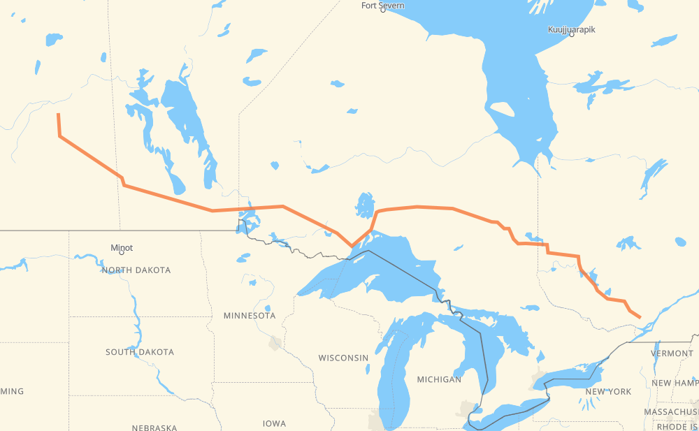
The distance from Melfort to Piedmont is 1,824 miles by road including 36 miles on motorways. Road takes approximately 33 hours and 30 minutes and goes through Yorkton, Portage la Prairie, Winnipeg, Kenora, Dryden, Thunder Bay and Rouyn-Noranda.
You can adjust fuel consumption and fuel price here.
How long is a car ride from Melfort to Piedmont?
Driving time:
33 h 30 min
This time is calculated for driving at the maximum permitted speed, taking into account traffic rules restrictions.
32 mi with a maximum speed 62 mph = 30 min
511 mi with a maximum speed 56 mph = 9 h 7 min
1,091 mi with a maximum speed 56 mph = 19 h 30 min
114 mi with a maximum speed 50 mph = 2 h 16 min
38 mi with a maximum speed 43 mph = 52 min
12 mi with a maximum speed 37 mph = 20 min
25 mi with a maximum speed 31 mph = 49 min
1 mi with a maximum speed 25 mph = 2 min
The calculated driving time does not take into account intermediate stops and traffic jams.
How far is Melfort to Piedmont by land?
The distance between Melfort and Piedmont is 1,823.7 mi by road including 36 mi on motorways.
Precise satellite coordinates of highways were used for this calculation. The start and finish points are the centers of Melfort and Piedmont respectively.
How far is Melfort to Piedmont by plane?
The shortest distance (air line, as the crow flies) between Melfort and Piedmont is 1,440.3 mi.
This distance is calculated using the Haversine formula as a great-circle distance between two points on the surface of a sphere. The start and finish points are the centers of Melfort and Piedmont respectively. Actual distance between airports may be different.
How many hours is Melfort from Piedmont by plane?
Boeing 737 airliner needs 2 h 53 min to cover the distance of 1,440 mi at a cruising speed of 497 mph.
Small plane "Cessna 172" needs 10 h 32 min to flight this distance at average speed of 136 mph.
This time is approximate and do not take into account takeoff and landing times, airport location and other real world factors.
How long is a helicopter ride from Melfort to Piedmont?
Fast helicopter "Eurocopter AS350" or "Hughes OH-6 Cayuse" need 9 h 39 min to cover the distance of 1,440 mi at a cruising speed of 149 mph.
Popular "Robinson R44" needs 11 h 2 min to flight this distance at average speed of 130 mph.
This time is approximate and do not take into account takeoff and landing times, aerodrome location and other real world factors.
What city is halfway between Melfort and Piedmont?
The halfway point between Melfort and Piedmont is Dorion. It is located about 21 mi from the exact midpoint by road.
The distance from Dorion to Melfort is 932 mi and driving will take about 16 h 57 min. The road between Dorion and Piedmont has length 892 mi and will take approximately 16 h 33 min.
The other cities located close to halfway point:
Thunder Bay is in 891 mi from Melfort and 933 mi from Piedmont
Nipigon is in 958 mi from Melfort and 866 mi from Piedmont
Orient Bay is in 976 mi from Melfort and 848 mi from Piedmont
Where is Melfort in relation to Piedmont?
Melfort is located 1,440 mi west of Piedmont.
Melfort has geographic coordinates: latitude 52.86499, longitude -104.61044.
Piedmont has geographic coordinates: latitude 45.89925, longitude -74.13466.
Which highway goes from Melfort to Piedmont?
The route from Melfort to Piedmont follows 11, 17, 117, PTH 16, PTH 1, 16, 101.