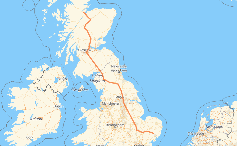
The distance from Needham Market to Tore is 555 miles by road including 215 miles on motorways. Road takes approximately 9 hours and 21 minutes and goes through Cambridge, Carlisle, Westley Estate, Stamford, Newark on Trent, Tickhill and Wetherby.
You can adjust fuel consumption and fuel price here.
How long is a car ride from Needham Market to Tore?
Driving time:
9 h 21 min
This time is calculated for driving at the maximum permitted speed, taking into account traffic rules restrictions.
213 mi with a maximum speed 68 mph = 3 h 8 min
324 mi with a maximum speed 56 mph = 5 h 47 min
10 mi with a maximum speed 50 mph = 11 min
1 mi with a maximum speed 50 mph = 1 min
2 mi with a maximum speed 40 mph = 3 min
4 mi with a maximum speed 30 mph = 7 min
1 mi with a maximum speed 20 mph = 1 min
The calculated driving time does not take into account intermediate stops and traffic jams.
How far is Needham Market to Tore by land?
The distance between Needham Market and Tore is 554.9 mi by road including 215 mi on motorways.
Precise satellite coordinates of highways were used for this calculation. The start and finish points are the centers of Needham Market and Tore respectively.
How far is Needham Market to Tore by plane?
The shortest distance (air line, as the crow flies) between Needham Market and Tore is 429.4 mi.
This distance is calculated using the Haversine formula as a great-circle distance between two points on the surface of a sphere. The start and finish points are the centers of Needham Market and Tore respectively. Actual distance between airports may be different.
How many hours is Needham Market from Tore by plane?
Boeing 737 airliner needs 51 min to cover the distance of 429 mi at a cruising speed of 497 mph.
Small plane "Cessna 172" needs 3 h 8 min to flight this distance at average speed of 136 mph.
This time is approximate and do not take into account takeoff and landing times, airport location and other real world factors.
How long is a helicopter ride from Needham Market to Tore?
Fast helicopter "Eurocopter AS350" or "Hughes OH-6 Cayuse" need 2 h 52 min to cover the distance of 429 mi at a cruising speed of 149 mph.
Popular "Robinson R44" needs 3 h 17 min to flight this distance at average speed of 130 mph.
This time is approximate and do not take into account takeoff and landing times, aerodrome location and other real world factors.
What city is halfway between Needham Market and Tore?
The halfway point between Needham Market and Tore is Kirkby Thore. It is located about 1 mi from the exact midpoint by road.
The distance from Kirkby Thore to Needham Market is 277 mi and driving will take about 4 h 41 min. The road between Kirkby Thore and Tore has length 278 mi and will take approximately 4 h 39 min.
The other cities located close to halfway point:
Temple Sowerby is in 279 mi from Needham Market and 277 mi from Tore
Crackenthorpe is in 274 mi from Needham Market and 281 mi from Tore
Whinfell is in 281 mi from Needham Market and 274 mi from Tore
Where is Needham Market in relation to Tore?
Needham Market is located 429 mi south-east of Tore.
Needham Market has geographic coordinates: latitude 52.15285, longitude 1.05283.
Tore has geographic coordinates: latitude 57.54142, longitude -4.33221.
Which highway goes from Needham Market to Tore?
The route from Needham Market to Tore follows A1, A1(M), A9, A14.