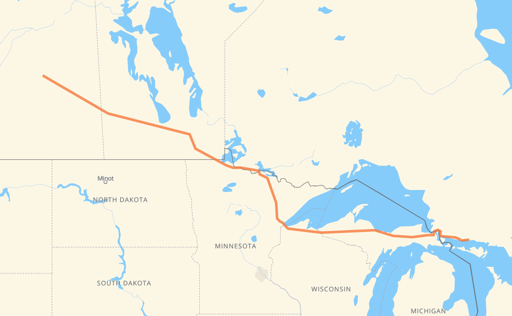
The distance from Northshore to Dafoe is 1,299 miles by road including 34 miles on motorways. Road takes approximately 24 hours and 7 minutes and goes through Sault Ste. Marie, Marquette, Duluth, International Falls, Steinbach, Winnipeg and Portage la Prairie.
You can adjust fuel consumption and fuel price here.
How long is a car ride from Northshore to Dafoe?
Driving time:
24 h 7 min
This time is calculated for driving at the maximum permitted speed, taking into account traffic rules restrictions.
7 mi with a maximum speed 65 mph = 6 min
14 mi with a maximum speed 62 mph = 14 min
741 mi with a maximum speed 56 mph = 13 h 13 min
97 mi with a maximum speed 56 mph = 1 h 44 min
139 mi with a maximum speed 55 mph = 2 h 31 min
3 mi with a maximum speed 50 mph = 4 min
257 mi with a maximum speed 50 mph = 5 h 10 min
11 mi with a maximum speed 45 mph = 15 min
6 mi with a maximum speed 43 mph = 8 min
3 mi with a maximum speed 40 mph = 4 min
4 mi with a maximum speed 37 mph = 7 min
6 mi with a maximum speed 35 mph = 9 min
4 mi with a maximum speed 31 mph = 8 min
4 mi with a maximum speed 30 mph = 7 min
The calculated driving time does not take into account intermediate stops and traffic jams.
How far is Northshore to Dafoe by land?
The distance between Northshore and Dafoe is 1,299.3 mi by road including 33.6 mi on motorways.
Precise satellite coordinates of highways were used for this calculation. The start and finish points are the centers of Northshore and Dafoe respectively.
How far is Northshore to Dafoe by plane?
The shortest distance (air line, as the crow flies) between Northshore and Dafoe is 1,061.9 mi.
This distance is calculated using the Haversine formula as a great-circle distance between two points on the surface of a sphere. The start and finish points are the centers of Northshore and Dafoe respectively. Actual distance between airports may be different.
How many hours is Northshore from Dafoe by plane?
Boeing 737 airliner needs 2 h 8 min to cover the distance of 1,062 mi at a cruising speed of 497 mph.
Small plane "Cessna 172" needs 7 h 46 min to flight this distance at average speed of 136 mph.
This time is approximate and do not take into account takeoff and landing times, airport location and other real world factors.
How long is a helicopter ride from Northshore to Dafoe?
Fast helicopter "Eurocopter AS350" or "Hughes OH-6 Cayuse" need 7 h 7 min to cover the distance of 1,062 mi at a cruising speed of 149 mph.
Popular "Robinson R44" needs 8 h 8 min to flight this distance at average speed of 130 mph.
This time is approximate and do not take into account takeoff and landing times, aerodrome location and other real world factors.
What city is halfway between Northshore and Dafoe?
The halfway point between Northshore and Dafoe is Ash Lake. It is located about 9 mi from the exact midpoint by road.
The distance from Ash Lake to Northshore is 659 mi and driving will take about 12 h 24 min. The road between Ash Lake and Dafoe has length 640 mi and will take approximately 11 h 42 min.
The other cities located close to halfway point:
Orr is in 632 mi from Northshore and 667 mi from Dafoe
Cook is in 623 mi from Northshore and 676 mi from Dafoe
Shermans Corner is in 618 mi from Northshore and 681 mi from Dafoe
Where is Northshore in relation to Dafoe?
Northshore is located 1,062 mi east of Dafoe.
Northshore has geographic coordinates: latitude 46.21535, longitude -82.57041.
Dafoe has geographic coordinates: latitude 51.75161, longitude -104.52808.
Which highway goes from Northshore to Dafoe?
The route from Northshore to Dafoe follows M 28, US 53, PTH 16, 16, US 2, 17, PTH 12, PTH 1.