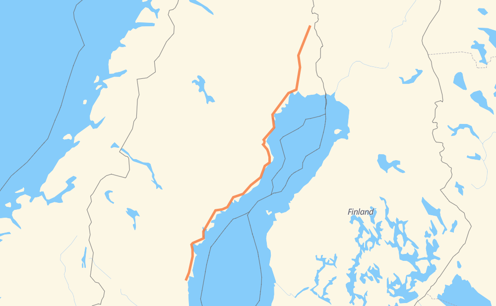
The distance from Pajala to Kvavtjär is 514 miles by road including 21 miles on motorways. Road takes approximately 9 hours and 25 minutes and goes through Sundsvall, Överkalix, Gammelstad, Piteå, Nordmaling, Svartby and Högland.
You can adjust fuel consumption and fuel price here.
How long is a car ride from Pajala to Kvavtjär?
Driving time:
9 h 25 min
This time is calculated for driving at the maximum permitted speed, taking into account traffic rules restrictions.
21 mi with a maximum speed 68 mph = 18 min
318 mi with a maximum speed 56 mph = 5 h 40 min
102 mi with a maximum speed 56 mph = 1 h 49 min
50 mi with a maximum speed 50 mph = 1 h
17 mi with a maximum speed 43 mph = 23 min
1 mi with a maximum speed 37 mph = 2 min
4 mi with a maximum speed 31 mph = 7 min
1 mi with a maximum speed 25 mph = 3 min
The calculated driving time does not take into account intermediate stops and traffic jams.
How far is Pajala to Kvavtjär by land?
The distance between Pajala and Kvavtjär is 514.5 mi by road including 21.1 mi on motorways.
Precise satellite coordinates of highways were used for this calculation. The start and finish points are the centers of Pajala and Kvavtjär respectively.
How far is Pajala to Kvavtjär by plane?
The shortest distance (air line, as the crow flies) between Pajala and Kvavtjär is 429.4 mi.
This distance is calculated using the Haversine formula as a great-circle distance between two points on the surface of a sphere. The start and finish points are the centers of Pajala and Kvavtjär respectively. Actual distance between airports may be different.
How many hours is Pajala from Kvavtjär by plane?
Boeing 737 airliner needs 51 min to cover the distance of 429 mi at a cruising speed of 497 mph.
Small plane "Cessna 172" needs 3 h 8 min to flight this distance at average speed of 136 mph.
This time is approximate and do not take into account takeoff and landing times, airport location and other real world factors.
How long is a helicopter ride from Pajala to Kvavtjär?
Fast helicopter "Eurocopter AS350" or "Hughes OH-6 Cayuse" need 2 h 52 min to cover the distance of 429 mi at a cruising speed of 149 mph.
Popular "Robinson R44" needs 3 h 17 min to flight this distance at average speed of 130 mph.
This time is approximate and do not take into account takeoff and landing times, aerodrome location and other real world factors.
What city is halfway between Pajala and Kvavtjär?
The halfway point between Pajala and Kvavtjär is Sikeå.
The distance from Sikeå to Pajala is 257 mi and driving will take about 4 h 43 min. The road between Sikeå and Kvavtjär has length 257 mi and will take approximately 4 h 42 min.
The other cities located close to halfway point:
Klintsjön is in 255 mi from Pajala and 259 mi from Kvavtjär
Legdeå is in 260 mi from Pajala and 254 mi from Kvavtjär
Gumboda is in 253 mi from Pajala and 262 mi from Kvavtjär
Where is Pajala in relation to Kvavtjär?
Pajala is located 429 mi north-east of Kvavtjär.
Pajala has geographic coordinates: latitude 67.20904, longitude 23.36473.
Kvavtjär has geographic coordinates: latitude 61.62186, longitude 17.02246.
Which highway goes from Pajala to Kvavtjär?
The route from Pajala to Kvavtjär follows E 4, 392.