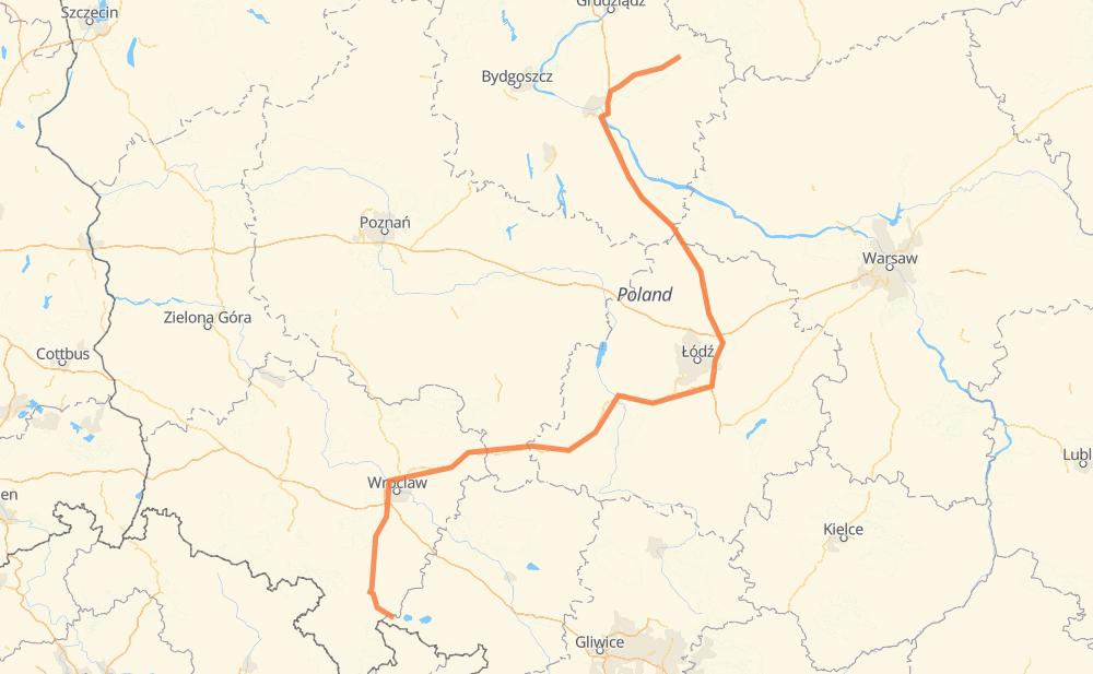
The distance from Patschkau to Budy is 336 miles by road including 131 miles on motorways. Road takes approximately 5 hours and 56 minutes and goes through Ząbkowice Śląskie, Groß Wartenberg, Stryków and Schönsee.
You can adjust fuel consumption and fuel price here.
How long is a car ride from Patschkau to Budy?
Driving time:
5 h 56 min
This time is calculated for driving at the maximum permitted speed, taking into account traffic rules restrictions.
122 mi with a maximum speed 68 mph = 1 h 47 min
7 mi with a maximum speed 62 mph = 6 min
129 mi with a maximum speed 56 mph = 2 h 18 min
45 mi with a maximum speed 56 mph = 48 min
4 mi with a maximum speed 50 mph = 4 min
10 mi with a maximum speed 43 mph = 13 min
2 mi with a maximum speed 37 mph = 3 min
12 mi with a maximum speed 31 mph = 24 min
2 mi with a maximum speed 25 mph = 4 min
1 mi with a maximum speed 12 mph = 3 min
The calculated driving time does not take into account intermediate stops and traffic jams.
How far is Patschkau to Budy by land?
The distance between Patschkau and Budy is 335.5 mi by road including 131.1 mi on motorways.
Precise satellite coordinates of highways were used for this calculation. The start and finish points are the centers of Patschkau and Budy respectively.
How far is Patschkau to Budy by plane?
The shortest distance (air line, as the crow flies) between Patschkau and Budy is 216.9 mi.
This distance is calculated using the Haversine formula as a great-circle distance between two points on the surface of a sphere. The start and finish points are the centers of Patschkau and Budy respectively. Actual distance between airports may be different.
How many hours is Patschkau from Budy by plane?
Boeing 737 airliner needs 26 min to cover the distance of 217 mi at a cruising speed of 497 mph.
Small plane "Cessna 172" needs 1 h 35 min to flight this distance at average speed of 136 mph.
This time is approximate and do not take into account takeoff and landing times, airport location and other real world factors.
How long is a helicopter ride from Patschkau to Budy?
Fast helicopter "Eurocopter AS350" or "Hughes OH-6 Cayuse" need 1 h 27 min to cover the distance of 217 mi at a cruising speed of 149 mph.
Popular "Robinson R44" needs 1 h 39 min to flight this distance at average speed of 130 mph.
This time is approximate and do not take into account takeoff and landing times, aerodrome location and other real world factors.
What city is halfway between Patschkau and Budy?
The halfway point between Patschkau and Budy is Niecenia. It is located about 1 mi from the exact midpoint by road.
The distance from Niecenia to Patschkau is 167 mi and driving will take about 3 h 9 min. The road between Niecenia and Budy has length 168 mi and will take approximately 2 h 47 min.
The other cities located close to halfway point:
Dąbrówka is in 170 mi from Patschkau and 165 mi from Budy
Kresy is in 165 mi from Patschkau and 171 mi from Budy
Teodory-Osiedle is in 172 mi from Patschkau and 163 mi from Budy
Where is Patschkau in relation to Budy?
Patschkau is located 217 mi south-west of Budy.
Patschkau has geographic coordinates: latitude 50.46368, longitude 17.00576.
Budy has geographic coordinates: latitude 53.26167, longitude 19.31731.