Distance between Port Angeles WA and Los Angeles CA
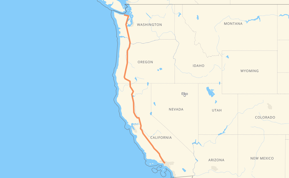
The distance from Port Angeles to Los Angeles is 1,191 miles by road including 1,084 miles on motorways. Road takes approximately 18 hours and 41 minutes and goes through Olympia, Vancouver, Portland, Salem, Medford, Redding and Sacramento.
You can adjust fuel consumption and fuel price here.
How long is a car ride from Port Angeles to Los Angeles?
Driving time:
18 h 41 min
This time is calculated for driving at the maximum permitted speed, taking into account traffic rules restrictions.
526 mi with a maximum speed 68 mph = 7 h 44 min
460 mi with a maximum speed 65 mph = 7 h 4 min
45 mi with a maximum speed 60 mph = 45 min
17 mi with a maximum speed 56 mph = 18 min
78 mi with a maximum speed 55 mph = 1 h 25 min
17 mi with a maximum speed 50 mph = 20 min
23 mi with a maximum speed 50 mph = 28 min
14 mi with a maximum speed 45 mph = 19 min
4 mi with a maximum speed 40 mph = 5 min
2 mi with a maximum speed 35 mph = 4 min
2 mi with a maximum speed 30 mph = 4 min
The calculated driving time does not take into account intermediate stops and traffic jams.
How far is Port Angeles to Los Angeles by land?
The distance between Port Angeles and Los Angeles is 1,191.2 mi by road including 1,084.3 mi on motorways.
Precise satellite coordinates of highways were used for this calculation. The start and finish points are the centers of Port Angeles and Los Angeles respectively.
How far is Port Angeles to Los Angeles by plane?
The shortest distance (air line, as the crow flies) between Port Angeles and Los Angeles is 1,008.5 mi.
This distance is calculated using the Haversine formula as a great-circle distance between two points on the surface of a sphere. The start and finish points are the centers of Port Angeles and Los Angeles respectively. Actual distance between airports may be different.
How many hours is Port Angeles from Los Angeles by plane?
Boeing 737 airliner needs 2 h 1 min to cover the distance of 1,008 mi at a cruising speed of 497 mph.
Small plane "Cessna 172" needs 7 h 22 min to flight this distance at average speed of 136 mph.
This time is approximate and do not take into account takeoff and landing times, airport location and other real world factors.
How long is a helicopter ride from Port Angeles to Los Angeles?
Fast helicopter "Eurocopter AS350" or "Hughes OH-6 Cayuse" need 6 h 45 min to cover the distance of 1,008 mi at a cruising speed of 149 mph.
Popular "Robinson R44" needs 7 h 43 min to flight this distance at average speed of 130 mph.
This time is approximate and do not take into account takeoff and landing times, aerodrome location and other real world factors.
What city is halfway between Port Angeles and Los Angeles?
The halfway point between Port Angeles and Los Angeles is Shasta Retreat. It is located about 1 mi from the exact midpoint by road.
The distance from Shasta Retreat to Port Angeles is 595 mi and driving will take about 9 h 44 min. The road between Shasta Retreat and Los Angeles has length 596 mi and will take approximately 8 h 57 min.
The other cities located close to halfway point:
Dunsmuir is in 598 mi from Port Angeles and 593 mi from Los Angeles
Mott is in 592 mi from Port Angeles and 599 mi from Los Angeles
Dirigo is in 602 mi from Port Angeles and 589 mi from Los Angeles
Where is Port Angeles in relation to Los Angeles?
Port Angeles is located 1,008 mi north-west of Los Angeles.
Port Angeles has geographic coordinates: latitude 48.11815, longitude -123.43074.
Los Angeles has geographic coordinates: latitude 34.05494, longitude -118.24448.
Which highway goes from Port Angeles to Los Angeles?
The route from Port Angeles to Los Angeles follows I 5, US 101, OR 99.