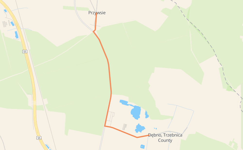
Distance between Przywsie and Dębno-Cegielnia
The distance from Przywsie to Dębno-Cegielnia is 2 miles by road. Road takes approximately 2 minutes and goes through Dębno.
| Shortest distance by air | 1 mi ✈️ |
| Car route length | 1.9 mi 🚗 |
| Driving time | 2 min |
| Fuel amount | 0.1 gal |
| Fuel cost | 0.2 USD |
| Point | Distance | Time | Fuel | |
| Przywsie | 0 mi | 00 min | 0.0 gal | |
|
2 mi, 02 min
|
||||
| Dębno | 2 mi | 02 min | 0.0 gal | |
Frequently Asked Questions
How much does it cost to drive from Przywsie to Dębno-Cegielnia?
Fuel cost: 0.2 USD
This fuel cost is calculated as: (Route length 1.9 mi) / (Fuel consumption 29.4 mpg) * (Fuel price 3.93 USD / gal)
You can adjust fuel consumption and fuel price here.
How long is a car ride from Przywsie to Dębno-Cegielnia?
Driving time: 2 min
This time is calculated for driving at the maximum permitted speed, taking into account traffic rules restrictions.
- 1 mi with a maximum speed 56 mph = 1 min
- 1 mi with a maximum speed 31 mph = 1 min
The calculated driving time does not take into account intermediate stops and traffic jams.
How far is Przywsie to Dębno-Cegielnia by land?
The distance between Przywsie and Dębno-Cegielnia is 1.9 mi by road.
Precise satellite coordinates of highways were used for this calculation. The start and finish points are the centers of Przywsie and Dębno-Cegielnia respectively.
Where is Przywsie in relation to Dębno-Cegielnia?
Przywsie is located 1 mi north-west of Dębno-Cegielnia.
Przywsie has geographic coordinates: latitude 51.57694, longitude 16.87667.
Dębno-Cegielnia has geographic coordinates: latitude 51.55868, longitude 16.88936.