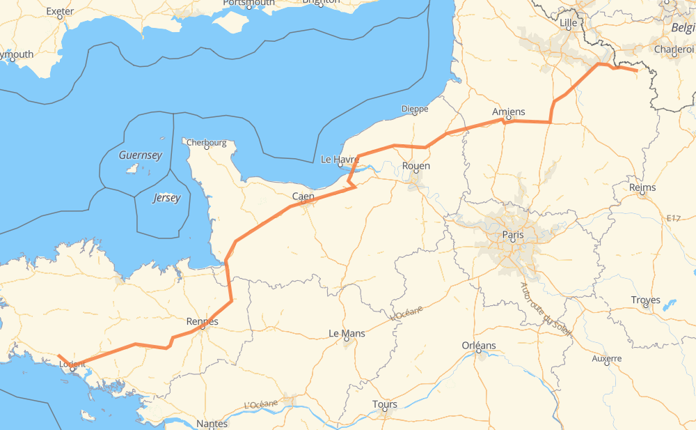
The distance from Quimperlé to Maubeuge is 470 miles by road including 322 miles on motorways. Road takes approximately 7 hours and 32 minutes and goes through Rennes, Amiens, Lanester, Hennebont, Cesson-Sévigné, Avranches and Mondeville.
You can adjust fuel consumption and fuel price here.
How long is a car ride from Quimperlé to Maubeuge?
Driving time:
7 h 32 min
This time is calculated for driving at the maximum permitted speed, taking into account traffic rules restrictions.
311 mi with a maximum speed 68 mph = 4 h 34 min
2 mi with a maximum speed 62 mph = 1 min
117 mi with a maximum speed 56 mph = 2 h 5 min
24 mi with a maximum speed 56 mph = 25 min
3 mi with a maximum speed 50 mph = 4 min
7 mi with a maximum speed 43 mph = 9 min
6 mi with a maximum speed 31 mph = 10 min
The calculated driving time does not take into account intermediate stops and traffic jams.
How far is Quimperlé to Maubeuge by land?
The distance between Quimperlé and Maubeuge is 469.8 mi by road including 321.9 mi on motorways.
Precise satellite coordinates of highways were used for this calculation. The start and finish points are the centers of Quimperlé and Maubeuge respectively.
How far is Quimperlé to Maubeuge by plane?
The shortest distance (air line, as the crow flies) between Quimperlé and Maubeuge is 379 mi.
This distance is calculated using the Haversine formula as a great-circle distance between two points on the surface of a sphere. The start and finish points are the centers of Quimperlé and Maubeuge respectively. Actual distance between airports may be different.
How many hours is Quimperlé from Maubeuge by plane?
Boeing 737 airliner needs 45 min to cover the distance of 379 mi at a cruising speed of 497 mph.
Small plane "Cessna 172" needs 2 h 46 min to flight this distance at average speed of 136 mph.
This time is approximate and do not take into account takeoff and landing times, airport location and other real world factors.
How long is a helicopter ride from Quimperlé to Maubeuge?
Fast helicopter "Eurocopter AS350" or "Hughes OH-6 Cayuse" need 2 h 32 min to cover the distance of 379 mi at a cruising speed of 149 mph.
Popular "Robinson R44" needs 2 h 54 min to flight this distance at average speed of 130 mph.
This time is approximate and do not take into account takeoff and landing times, aerodrome location and other real world factors.
What city is halfway between Quimperlé and Maubeuge?
The halfway point between Quimperlé and Maubeuge is La Forge Moisy. It is located about 3 mi from the exact midpoint by road.
The distance from La Forge Moisy to Quimperlé is 238 mi and driving will take about 3 h 55 min. The road between La Forge Moisy and Maubeuge has length 232 mi and will take approximately 3 h 36 min.
The other cities located close to halfway point:
L'Église is in 230 mi from Quimperlé and 240 mi from Maubeuge
Reux is in 243 mi from Quimperlé and 227 mi from Maubeuge
Troarn is in 227 mi from Quimperlé and 243 mi from Maubeuge
Where is Quimperlé in relation to Maubeuge?
Quimperlé is located 379 mi south-west of Maubeuge.
Quimperlé has geographic coordinates: latitude 47.86901, longitude -3.55162.
Maubeuge has geographic coordinates: latitude 50.27856, longitude 3.97438.
Which highway goes from Quimperlé to Maubeuge?
The route from Quimperlé to Maubeuge follows A 29, A 84, N 24.