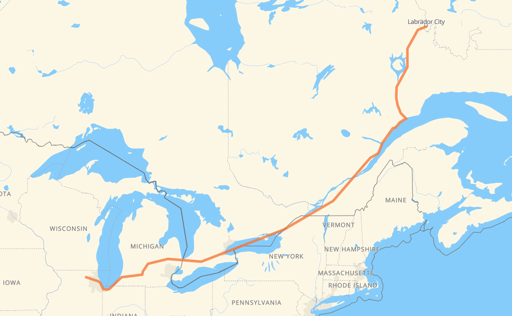
The distance from Riley to Wabush is 1,685 miles by road including 1,071 miles on motorways. Road takes approximately 28 hours and 30 minutes and goes through Chicago, Kalamazoo, Lansing, Flint, Sarnia, Woodstock and Kitchener.
You can adjust fuel consumption and fuel price here.
How long is a car ride from Riley to Wabush?
Driving time:
28 h 30 min
This time is calculated for driving at the maximum permitted speed, taking into account traffic rules restrictions.
355 mi with a maximum speed 68 mph = 5 h 13 min
1 mi with a maximum speed 65 mph = 1 min
658 mi with a maximum speed 62 mph = 10 h 35 min
426 mi with a maximum speed 56 mph = 7 h 36 min
106 mi with a maximum speed 56 mph = 1 h 53 min
14 mi with a maximum speed 55 mph = 15 min
80 mi with a maximum speed 50 mph = 1 h 36 min
8 mi with a maximum speed 45 mph = 10 min
31 mi with a maximum speed 43 mph = 43 min
2 mi with a maximum speed 40 mph = 2 min
1 mi with a maximum speed 40 mph = 1 min
1 mi with a maximum speed 35 mph = 1 min
6 mi with a maximum speed 31 mph = 11 min
1 mi with a maximum speed 25 mph = 2 min
1 mi with a maximum speed 12 mph = 4 min
The calculated driving time does not take into account intermediate stops and traffic jams.
How far is Riley to Wabush by land?
The distance between Riley and Wabush is 1,684.5 mi by road including 1,070.6 mi on motorways.
Precise satellite coordinates of highways were used for this calculation. The start and finish points are the centers of Riley and Wabush respectively.
How far is Riley to Wabush by plane?
The shortest distance (air line, as the crow flies) between Riley and Wabush is 1,248.3 mi.
This distance is calculated using the Haversine formula as a great-circle distance between two points on the surface of a sphere. The start and finish points are the centers of Riley and Wabush respectively. Actual distance between airports may be different.
How many hours is Riley from Wabush by plane?
Boeing 737 airliner needs 2 h 30 min to cover the distance of 1,248 mi at a cruising speed of 497 mph.
Small plane "Cessna 172" needs 9 h 7 min to flight this distance at average speed of 136 mph.
This time is approximate and do not take into account takeoff and landing times, airport location and other real world factors.
How long is a helicopter ride from Riley to Wabush?
Fast helicopter "Eurocopter AS350" or "Hughes OH-6 Cayuse" need 8 h 22 min to cover the distance of 1,248 mi at a cruising speed of 149 mph.
Popular "Robinson R44" needs 9 h 34 min to flight this distance at average speed of 130 mph.
This time is approximate and do not take into account takeoff and landing times, aerodrome location and other real world factors.
What city is halfway between Riley and Wabush?
The halfway point between Riley and Wabush is Cornwall. It is located about 4 mi from the exact midpoint by road.
The distance from Cornwall to Riley is 839 mi and driving will take about 13 h 10 min. The road between Cornwall and Wabush has length 846 mi and will take approximately 15 h 19 min.
The other cities located close to halfway point:
Summerstown Station is in 846 mi from Riley and 838 mi from Wabush
South Lancaster is in 853 mi from Riley and 832 mi from Wabush
Ingleside is in 828 mi from Riley and 857 mi from Wabush
Where is Riley in relation to Wabush?
Riley is located 1,248 mi south-west of Wabush.
Riley has geographic coordinates: latitude 42.19141, longitude -88.63259.
Wabush has geographic coordinates: latitude 52.89999, longitude -66.87017.
Which highway goes from Riley to Wabush?
The route from Riley to Wabush follows 401, 389, 138, I 69, 20, I 94, I 90, 402.