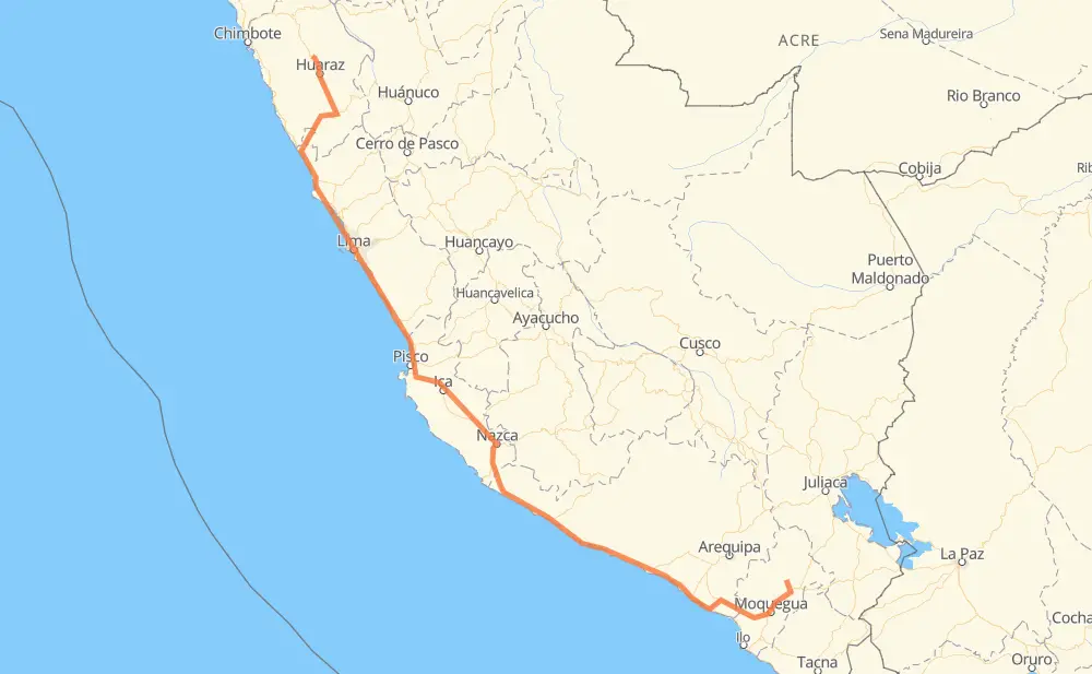
The distance from San Cristobal to Carhuaz is 1,039 miles by road including 142 miles on motorways. Road takes approximately 21 hours and 4 minutes and goes through Carumas, Yaracachi, Cocachacra, El Arenal, La Curva, Alfonso Ugarte and Ocoña.
You can adjust fuel consumption and fuel price here.
How long is a car ride from San Cristobal to Carhuaz?
Driving time:
21 h 4 min
This time is calculated for driving at the maximum permitted speed, taking into account traffic rules restrictions.
101 mi with a maximum speed 62 mph = 1 h 37 min
303 mi with a maximum speed 56 mph = 5 h 24 min
76 mi with a maximum speed 56 mph = 1 h 21 min
402 mi with a maximum speed 50 mph = 8 h 5 min
8 mi with a maximum speed 43 mph = 11 min
89 mi with a maximum speed 37 mph = 2 h 23 min
49 mi with a maximum speed 31 mph = 1 h 34 min
8 mi with a maximum speed 25 mph = 18 min
1 mi with a maximum speed 22 mph = 4 min
The calculated driving time does not take into account intermediate stops and traffic jams.
How far is San Cristobal to Carhuaz by land?
The distance between San Cristobal and Carhuaz is 1,038.9 mi by road including 141.7 mi on motorways.
Precise satellite coordinates of highways were used for this calculation. The start and finish points are the centers of San Cristobal and Carhuaz respectively.
How far is San Cristobal to Carhuaz by plane?
The shortest distance (air line, as the crow flies) between San Cristobal and Carhuaz is 695.3 mi.
This distance is calculated using the Haversine formula as a great-circle distance between two points on the surface of a sphere. The start and finish points are the centers of San Cristobal and Carhuaz respectively. Actual distance between airports may be different.
How many hours is San Cristobal from Carhuaz by plane?
Boeing 737 airliner needs 1 h 23 min to cover the distance of 695 mi at a cruising speed of 497 mph.
Small plane "Cessna 172" needs 5 h 5 min to flight this distance at average speed of 136 mph.
This time is approximate and do not take into account takeoff and landing times, airport location and other real world factors.
How long is a helicopter ride from San Cristobal to Carhuaz?
Fast helicopter "Eurocopter AS350" or "Hughes OH-6 Cayuse" need 4 h 39 min to cover the distance of 695 mi at a cruising speed of 149 mph.
Popular "Robinson R44" needs 5 h 19 min to flight this distance at average speed of 130 mph.
This time is approximate and do not take into account takeoff and landing times, aerodrome location and other real world factors.
What city is halfway between San Cristobal and Carhuaz?
The halfway point between San Cristobal and Carhuaz is La Legua. It is located about 1 mi from the exact midpoint by road.
The distance from La Legua to San Cristobal is 519 mi and driving will take about 10 h 51 min. The road between La Legua and Carhuaz has length 520 mi and will take approximately 10 h 13 min.
The other cities located close to halfway point:
Miraflores is in 528 mi from San Cristobal and 512 mi from Carhuaz
Espinal / San Borjas is in 529 mi from San Cristobal and 510 mi from Carhuaz
El Tunel is in 531 mi from San Cristobal and 508 mi from Carhuaz
Where is San Cristobal in relation to Carhuaz?
San Cristobal is located 695 mi south-east of Carhuaz.
San Cristobal has geographic coordinates: latitude -16.74012, longitude -70.70669.
Carhuaz has geographic coordinates: latitude -9.28176, longitude -77.64626.
Which highway goes from San Cristobal to Carhuaz?
The route from San Cristobal to Carhuaz follows PE-1S, PE-1N, PE-1SD, PE-16, PE-3N.