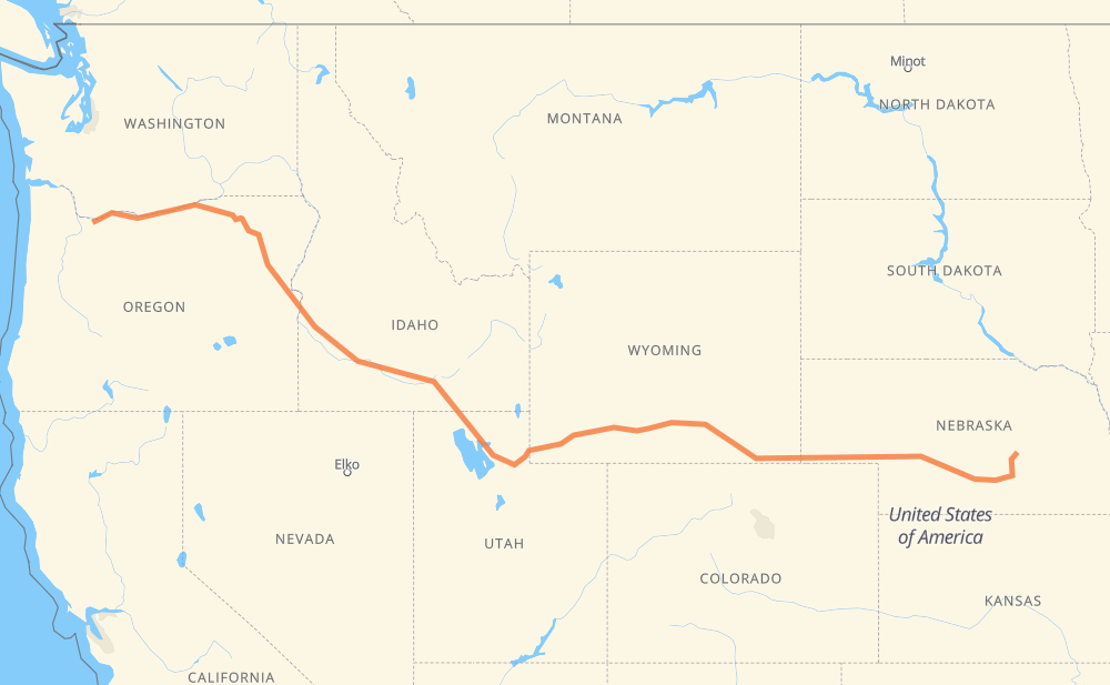
The distance from Springdale to St. Paul is 1,525 miles by road including 1,481 miles on motorways. Road takes approximately 23 hours and 22 minutes and goes through Ogden, Rock Springs, Laramie, Cheyenne and North Platte.
You can adjust fuel consumption and fuel price here.
How long is a car ride from Springdale to St. Paul?
Driving time:
23 h 22 min
This time is calculated for driving at the maximum permitted speed, taking into account traffic rules restrictions.
1,143 mi with a maximum speed 68 mph = 16 h 48 min
111 mi with a maximum speed 65 mph = 1 h 42 min
135 mi with a maximum speed 62 mph = 2 h 10 min
36 mi with a maximum speed 56 mph = 38 min
2 mi with a maximum speed 55 mph = 2 min
96 mi with a maximum speed 50 mph = 1 h 55 min
2 mi with a maximum speed 31 mph = 3 min
The calculated driving time does not take into account intermediate stops and traffic jams.
How far is Springdale to St. Paul by land?
The distance between Springdale and St. Paul is 1,524.8 mi by road including 1,480.7 mi on motorways.
Precise satellite coordinates of highways were used for this calculation. The start and finish points are the centers of Springdale and St. Paul respectively.
How far is Springdale to St. Paul by plane?
The shortest distance (air line, as the crow flies) between Springdale and St. Paul is 1,230.9 mi.
This distance is calculated using the Haversine formula as a great-circle distance between two points on the surface of a sphere. The start and finish points are the centers of Springdale and St. Paul respectively. Actual distance between airports may be different.
How many hours is Springdale from St. Paul by plane?
Boeing 737 airliner needs 2 h 28 min to cover the distance of 1,231 mi at a cruising speed of 497 mph.
Small plane "Cessna 172" needs 9 h to flight this distance at average speed of 136 mph.
This time is approximate and do not take into account takeoff and landing times, airport location and other real world factors.
How long is a helicopter ride from Springdale to St. Paul?
Fast helicopter "Eurocopter AS350" or "Hughes OH-6 Cayuse" need 8 h 15 min to cover the distance of 1,231 mi at a cruising speed of 149 mph.
Popular "Robinson R44" needs 9 h 26 min to flight this distance at average speed of 130 mph.
This time is approximate and do not take into account takeoff and landing times, aerodrome location and other real world factors.
What city is halfway between Springdale and St. Paul?
The halfway point between Springdale and St. Paul is Emory. It is located about 2 mi from the exact midpoint by road.
The distance from Emory to Springdale is 764 mi and driving will take about 12 h. The road between Emory and St. Paul has length 761 mi and will take approximately 11 h 21 min.
The other cities located close to halfway point:
Castle Rock is in 772 mi from Springdale and 753 mi from St. Paul
Henefer is in 752 mi from Springdale and 773 mi from St. Paul
Wahsatch is in 777 mi from Springdale and 748 mi from St. Paul
Where is Springdale in relation to St. Paul?
Springdale is located 1,231 mi west of St. Paul.
Springdale has geographic coordinates: latitude 45.51901, longitude -122.32981.
St. Paul has geographic coordinates: latitude 41.21473, longitude -98.45754.
Which highway goes from Springdale to St. Paul?
The route from Springdale to St. Paul follows I 84, I 80, US 30, US 26.