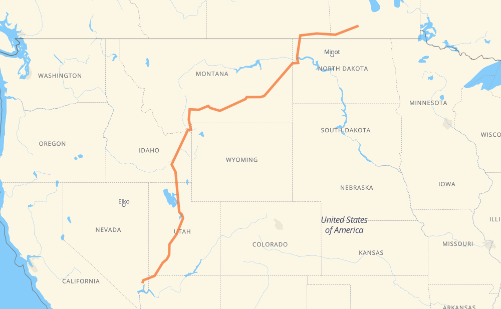
The distance from Stockton to Moapa Valley is 1,539 miles by road including 973 miles on motorways. Road takes approximately 25 hours and 37 minutes and goes through Estevan, Williston, Billings, Bozeman, Idaho Falls, Pocatello and Ogden.
You can adjust fuel consumption and fuel price here.
How long is a car ride from Stockton to Moapa Valley?
Driving time:
25 h 37 min
This time is calculated for driving at the maximum permitted speed, taking into account traffic rules restrictions.
606 mi with a maximum speed 68 mph = 8 h 54 min
25 mi with a maximum speed 65 mph = 23 min
250 mi with a maximum speed 62 mph = 4 h 1 min
4 mi with a maximum speed 60 mph = 4 min
418 mi with a maximum speed 56 mph = 7 h 27 min
49 mi with a maximum speed 55 mph = 53 min
173 mi with a maximum speed 50 mph = 3 h 29 min
4 mi with a maximum speed 45 mph = 5 min
3 mi with a maximum speed 40 mph = 4 min
4 mi with a maximum speed 31 mph = 8 min
1 mi with a maximum speed 25 mph = 2 min
1 mi with a maximum speed 25 mph = 2 min
The calculated driving time does not take into account intermediate stops and traffic jams.
How far is Stockton to Moapa Valley by land?
The distance between Stockton and Moapa Valley is 1,539.1 mi by road including 973.1 mi on motorways.
Precise satellite coordinates of highways were used for this calculation. The start and finish points are the centers of Stockton and Moapa Valley respectively.
How far is Stockton to Moapa Valley by plane?
The shortest distance (air line, as the crow flies) between Stockton and Moapa Valley is 1,171.3 mi.
This distance is calculated using the Haversine formula as a great-circle distance between two points on the surface of a sphere. The start and finish points are the centers of Stockton and Moapa Valley respectively. Actual distance between airports may be different.
How many hours is Stockton from Moapa Valley by plane?
Boeing 737 airliner needs 2 h 21 min to cover the distance of 1,171 mi at a cruising speed of 497 mph.
Small plane "Cessna 172" needs 8 h 34 min to flight this distance at average speed of 136 mph.
This time is approximate and do not take into account takeoff and landing times, airport location and other real world factors.
How long is a helicopter ride from Stockton to Moapa Valley?
Fast helicopter "Eurocopter AS350" or "Hughes OH-6 Cayuse" need 7 h 51 min to cover the distance of 1,171 mi at a cruising speed of 149 mph.
Popular "Robinson R44" needs 8 h 58 min to flight this distance at average speed of 130 mph.
This time is approximate and do not take into account takeoff and landing times, aerodrome location and other real world factors.
What city is halfway between Stockton and Moapa Valley?
The halfway point between Stockton and Moapa Valley is Country Court. It is located about 3 mi from the exact midpoint by road.
The distance from Country Court to Stockton is 767 mi and driving will take about 13 h 13 min. The road between Country Court and Moapa Valley has length 773 mi and will take approximately 12 h 24 min.
The other cities located close to halfway point:
Kountz Trailer Park is in 759 mi from Stockton and 780 mi from Moapa Valley
West College Park is in 757 mi from Stockton and 782 mi from Moapa Valley
Bozeman is in 756 mi from Stockton and 783 mi from Moapa Valley
Where is Stockton in relation to Moapa Valley?
Stockton is located 1,171 mi north-east of Moapa Valley.
Stockton has geographic coordinates: latitude 49.58333, longitude -99.45.
Moapa Valley has geographic coordinates: latitude 36.58053, longitude -114.47027.
Which highway goes from Stockton to Moapa Valley?
The route from Stockton to Moapa Valley follows I 15, I 94, I 90, US 191, US 20, 18, US 85.