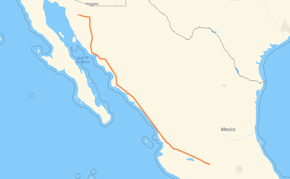
The distance from Tendeparacua to Isidoro Cuellar is 1,144 miles by road including 1,063 miles on motorways. Road takes approximately 19 hours and 57 minutes and goes through Tonalá, Tepic, Dimas (Estación Dimas), Gabriel Leyva Solano, Los Mochis, Navojoa and Hermosillo.
You can adjust fuel consumption and fuel price here.
Toll roads cost:
2,225 + ? MXN
How long is a car ride from Tendeparacua to Isidoro Cuellar?
Driving time:
19 h 57 min
This time is calculated for driving at the maximum permitted speed, taking into account traffic rules restrictions.
260 mi with a maximum speed 68 mph = 3 h 49 min
432 mi with a maximum speed 62 mph = 6 h 57 min
14 mi with a maximum speed 56 mph = 15 min
47 mi with a maximum speed 56 mph = 49 min
362 mi with a maximum speed 50 mph = 7 h 17 min
7 mi with a maximum speed 43 mph = 10 min
12 mi with a maximum speed 37 mph = 18 min
7 mi with a maximum speed 31 mph = 14 min
1 mi with a maximum speed 25 mph = 1 min
1 mi with a maximum speed 12 mph = 2 min
The calculated driving time does not take into account intermediate stops and traffic jams.
How far is Tendeparacua to Isidoro Cuellar by land?
The distance between Tendeparacua and Isidoro Cuellar is 1,143.9 mi by road including 1,062.5 mi on motorways.
Precise satellite coordinates of highways were used for this calculation. The start and finish points are the centers of Tendeparacua and Isidoro Cuellar respectively.
How far is Tendeparacua to Isidoro Cuellar by plane?
The shortest distance (air line, as the crow flies) between Tendeparacua and Isidoro Cuellar is 990.5 mi.
This distance is calculated using the Haversine formula as a great-circle distance between two points on the surface of a sphere. The start and finish points are the centers of Tendeparacua and Isidoro Cuellar respectively. Actual distance between airports may be different.
How many hours is Tendeparacua from Isidoro Cuellar by plane?
Boeing 737 airliner needs 1 h 59 min to cover the distance of 990 mi at a cruising speed of 497 mph.
Small plane "Cessna 172" needs 7 h 14 min to flight this distance at average speed of 136 mph.
This time is approximate and do not take into account takeoff and landing times, airport location and other real world factors.
How long is a helicopter ride from Tendeparacua to Isidoro Cuellar?
Fast helicopter "Eurocopter AS350" or "Hughes OH-6 Cayuse" need 6 h 38 min to cover the distance of 990 mi at a cruising speed of 149 mph.
Popular "Robinson R44" needs 7 h 35 min to flight this distance at average speed of 130 mph.
This time is approximate and do not take into account takeoff and landing times, aerodrome location and other real world factors.
What city is halfway between Tendeparacua and Isidoro Cuellar?
The halfway point between Tendeparacua and Isidoro Cuellar is El Batallón. It is located about 6 mi from the exact midpoint by road.
The distance from El Batallón to Tendeparacua is 566 mi and driving will take about 9 h 45 min. The road between El Batallón and Isidoro Cuellar has length 578 mi and will take approximately 10 h 12 min.
The other cities located close to halfway point:
San Blas is in 578 mi from Tendeparacua and 566 mi from Isidoro Cuellar
Campo Balbuena is in 564 mi from Tendeparacua and 580 mi from Isidoro Cuellar
Colonia Agrícola México (Palmitas) is in 601 mi from Tendeparacua and 542 mi from Isidoro Cuellar
Where is Tendeparacua in relation to Isidoro Cuellar?
Tendeparacua is located 990 mi south-east of Isidoro Cuellar.
Tendeparacua has geographic coordinates: latitude 19.893, longitude -101.43143.
Isidoro Cuellar has geographic coordinates: latitude 30.70767, longitude -111.86667.
Which highway goes from Tendeparacua to Isidoro Cuellar?
The route from Tendeparacua to Isidoro Cuellar follows MEX 15D.