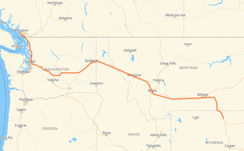
The distance from Vancouver to Kearny is 1,103 miles by road including 1,097 miles on motorways. Road takes approximately 17 hours and 1 minute and goes through Bellingham, Everett, Bellevue, Moses Lake, Spokane, Coeur d'Alene and Missoula.
You can adjust fuel consumption and fuel price here.
How long is a car ride from Vancouver to Kearny?
Driving time:
17 h 1 min
This time is calculated for driving at the maximum permitted speed, taking into account traffic rules restrictions.
757 mi with a maximum speed 68 mph = 11 h 7 min
72 mi with a maximum speed 65 mph = 1 h 6 min
120 mi with a maximum speed 62 mph = 1 h 55 min
91 mi with a maximum speed 60 mph = 1 h 31 min
4 mi with a maximum speed 56 mph = 4 min
4 mi with a maximum speed 55 mph = 4 min
48 mi with a maximum speed 50 mph = 57 min
2 mi with a maximum speed 37 mph = 2 min
4 mi with a maximum speed 31 mph = 8 min
1 mi with a maximum speed 19 mph = 1 min
The calculated driving time does not take into account intermediate stops and traffic jams.
How far is Vancouver to Kearny by land?
The distance between Vancouver and Kearny is 1,102.9 mi by road including 1,096.7 mi on motorways.
Precise satellite coordinates of highways were used for this calculation. The start and finish points are the centers of Vancouver and Kearny respectively.
How far is Vancouver to Kearny by plane?
The shortest distance (air line, as the crow flies) between Vancouver and Kearny is 833.9 mi.
This distance is calculated using the Haversine formula as a great-circle distance between two points on the surface of a sphere. The start and finish points are the centers of Vancouver and Kearny respectively. Actual distance between airports may be different.
How many hours is Vancouver from Kearny by plane?
Boeing 737 airliner needs 1 h 40 min to cover the distance of 834 mi at a cruising speed of 497 mph.
Small plane "Cessna 172" needs 6 h 6 min to flight this distance at average speed of 136 mph.
This time is approximate and do not take into account takeoff and landing times, airport location and other real world factors.
How long is a helicopter ride from Vancouver to Kearny?
Fast helicopter "Eurocopter AS350" or "Hughes OH-6 Cayuse" need 5 h 35 min to cover the distance of 834 mi at a cruising speed of 149 mph.
Popular "Robinson R44" needs 6 h 23 min to flight this distance at average speed of 130 mph.
This time is approximate and do not take into account takeoff and landing times, aerodrome location and other real world factors.
What city is halfway between Vancouver and Kearny?
The halfway point between Vancouver and Kearny is Superior.
The distance from Superior to Vancouver is 551 mi and driving will take about 8 h 30 min. The road between Superior and Kearny has length 552 mi and will take approximately 8 h 31 min.
The other cities located close to halfway point:
Riverbend is in 556 mi from Vancouver and 547 mi from Kearny
Spring Gulch is in 546 mi from Vancouver and 557 mi from Kearny
Westfall is in 559 mi from Vancouver and 544 mi from Kearny
Where is Vancouver in relation to Kearny?
Vancouver is located 834 mi north-west of Kearny.
Vancouver has geographic coordinates: latitude 49.26243, longitude -123.11554.
Kearny has geographic coordinates: latitude 44.53192, longitude -106.81617.
Which highway goes from Vancouver to Kearny?
The route from Vancouver to Kearny follows I 90, US 87, I 5, US 212, US 12.