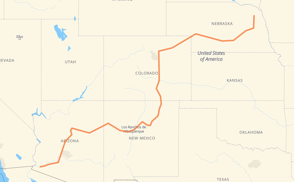
The distance from Wayne to Wellton is 1,597 miles by road including 1,417 miles on motorways. Road takes approximately 24 hours and 17 minutes and goes through Columbus, Grand Island, North Platte, Denver, Colorado Springs, Pueblo and Flagstaff.
You can adjust fuel consumption and fuel price here.
How long is a car ride from Wayne to Wellton?
Driving time:
24 h 17 min
This time is calculated for driving at the maximum permitted speed, taking into account traffic rules restrictions.
1,278 mi with a maximum speed 68 mph = 18 h 47 min
127 mi with a maximum speed 65 mph = 1 h 57 min
4 mi with a maximum speed 62 mph = 3 min
150 mi with a maximum speed 56 mph = 2 h 40 min
16 mi with a maximum speed 55 mph = 17 min
1 mi with a maximum speed 50 mph = 1 min
12 mi with a maximum speed 50 mph = 14 min
4 mi with a maximum speed 45 mph = 4 min
4 mi with a maximum speed 35 mph = 6 min
1 mi with a maximum speed 31 mph = 2 min
The calculated driving time does not take into account intermediate stops and traffic jams.
How far is Wayne to Wellton by land?
The distance between Wayne and Wellton is 1,596.9 mi by road including 1,417.3 mi on motorways.
Precise satellite coordinates of highways were used for this calculation. The start and finish points are the centers of Wayne and Wellton respectively.
How far is Wayne to Wellton by plane?
The shortest distance (air line, as the crow flies) between Wayne and Wellton is 1,145.2 mi.
This distance is calculated using the Haversine formula as a great-circle distance between two points on the surface of a sphere. The start and finish points are the centers of Wayne and Wellton respectively. Actual distance between airports may be different.
How many hours is Wayne from Wellton by plane?
Boeing 737 airliner needs 2 h 18 min to cover the distance of 1,145 mi at a cruising speed of 497 mph.
Small plane "Cessna 172" needs 8 h 22 min to flight this distance at average speed of 136 mph.
This time is approximate and do not take into account takeoff and landing times, airport location and other real world factors.
How long is a helicopter ride from Wayne to Wellton?
Fast helicopter "Eurocopter AS350" or "Hughes OH-6 Cayuse" need 7 h 40 min to cover the distance of 1,145 mi at a cruising speed of 149 mph.
Popular "Robinson R44" needs 8 h 46 min to flight this distance at average speed of 130 mph.
This time is approximate and do not take into account takeoff and landing times, aerodrome location and other real world factors.
What city is halfway between Wayne and Wellton?
The halfway point between Wayne and Wellton is Springer. It is located about 2 mi from the exact midpoint by road.
The distance from Springer to Wayne is 801 mi and driving will take about 12 h 19 min. The road between Springer and Wellton has length 796 mi and will take approximately 11 h 57 min.
The other cities located close to halfway point:
Maxwell is in 788 mi from Wayne and 809 mi from Wellton
Levy is in 819 mi from Wayne and 778 mi from Wellton
Wagon Mound is in 827 mi from Wayne and 770 mi from Wellton
Where is Wayne in relation to Wellton?
Wayne is located 1,145 mi north-east of Wellton.
Wayne has geographic coordinates: latitude 42.23432, longitude -97.01971.
Wellton has geographic coordinates: latitude 32.67282, longitude -114.14689.
Which highway goes from Wayne to Wellton?
The route from Wayne to Wellton follows I 25, I 40, I 80, I 76, I 17, I 8, US 180, US 30, US 6.