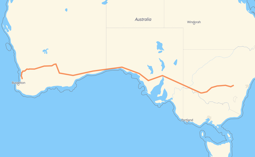
The distance from Woodstock to Yarloop is 2,343 miles by road including 55 miles on motorways. Road takes approximately 42 hours and 28 minutes and goes through Mildura, Port Augusta, Cowra, Yarrabilly, Grenfell, West Wyalong and Hay.
You can adjust fuel consumption and fuel price here.
How long is a car ride from Woodstock to Yarloop?
Driving time:
42 h 28 min
This time is calculated for driving at the maximum permitted speed, taking into account traffic rules restrictions.
22 mi with a maximum speed 68 mph = 19 min
32 mi with a maximum speed 62 mph = 30 min
2,126 mi with a maximum speed 56 mph = 37 h 57 min
10 mi with a maximum speed 56 mph = 10 min
115 mi with a maximum speed 50 mph = 2 h 18 min
1 mi with a maximum speed 43 mph = 1 min
19 mi with a maximum speed 37 mph = 31 min
18 mi with a maximum speed 31 mph = 35 min
1 mi with a maximum speed 16 mph = 1 min
The calculated driving time does not take into account intermediate stops and traffic jams.
How far is Woodstock to Yarloop by land?
The distance between Woodstock and Yarloop is 2,343.2 mi by road including 55.3 mi on motorways.
Precise satellite coordinates of highways were used for this calculation. The start and finish points are the centers of Woodstock and Yarloop respectively.
How far is Woodstock to Yarloop by plane?
The shortest distance (air line, as the crow flies) between Woodstock and Yarloop is 1,894.6 mi.
This distance is calculated using the Haversine formula as a great-circle distance between two points on the surface of a sphere. The start and finish points are the centers of Woodstock and Yarloop respectively. Actual distance between airports may be different.
How many hours is Woodstock from Yarloop by plane?
Boeing 737 airliner needs 3 h 48 min to cover the distance of 1,895 mi at a cruising speed of 497 mph.
Small plane "Cessna 172" needs 13 h 51 min to flight this distance at average speed of 136 mph.
This time is approximate and do not take into account takeoff and landing times, airport location and other real world factors.
How long is a helicopter ride from Woodstock to Yarloop?
Fast helicopter "Eurocopter AS350" or "Hughes OH-6 Cayuse" need 12 h 42 min to cover the distance of 1,895 mi at a cruising speed of 149 mph.
Popular "Robinson R44" needs 14 h 31 min to flight this distance at average speed of 130 mph.
This time is approximate and do not take into account takeoff and landing times, aerodrome location and other real world factors.
What city is halfway between Woodstock and Yarloop?
The halfway point between Woodstock and Yarloop is Penong. It is located about 37 mi from the exact midpoint by road.
The distance from Penong to Woodstock is 1,135 mi and driving will take about 20 h 47 min. The road between Penong and Yarloop has length 1,209 mi and will take approximately 21 h 40 min.