Distance between Yuzhno-Sakhalinsk and Sochi
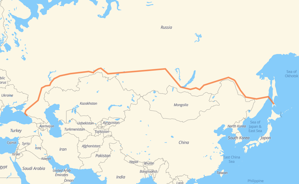
The distance from Yuzhno-Sakhalinsk to Sochi is 6,278 miles by road including 21 miles on motorways. Road takes approximately 170 hours and 18 minutes and goes through Khabarovsk, Ulan-Ude, Angarsk, Kansk, Krasnoyarsk, Achinsk and Omsk.
| Shortest distance by air | 4,622 mi ✈️ |
| Car route length | 6,278.3 mi 🚗 |
| Driving time | 170 h 18 min |
| Fuel amount | 213.6 gal |
| Fuel cost | 832.9 USD |
| Point | Distance | Time | Fuel | |
| Yuzhno-Sakhalinsk | 0 mi | 00 min | 0.0 gal | |
|
А-392 А376 562 mi, 21 h 46 min
|
||||
| Khabarovsk | 562 mi | 21 h 46 min | 18.9 gal | |
|
08А-22 Р-297 1,711 mi, 43 h 38 min
|
||||
| Ulan-Ude | 2,272 mi | 65 h 24 min | 77.2 gal | |
|
Р-258 285 mi, 9 h 31 min
|
||||
| Angarsk | 2,558 mi | 74 h 56 min | 86.8 gal | |
|
Р-255 488 mi, 11 h 07 min
|
||||
| Kansk | 3,046 mi | 86 h 03 min | 103.0 gal | |
|
Р-255 132 mi, 3 h 37 min
|
||||
| Krasnoyarsk | 3,178 mi | 89 h 41 min | 108.0 gal | |
|
Р-255 112 mi, 2 h 10 min
|
||||
| Achinsk | 3,290 mi | 91 h 52 min | 111.8 gal | |
|
Р-255 Р-254 774 mi, 20 h 05 min
|
||||
| Omsk | 4,064 mi | 111 h 57 min | 137.8 gal | |
|
52К-2 Р-402 396 mi, 10 h 02 min
|
||||
| Kurgan | 4,460 mi | 121 h 59 min | 151.2 gal | |
|
Р-254 М-5 436 mi, 12 h 55 min
|
||||
| Ufa | 4,896 mi | 134 h 55 min | 166.2 gal | |
|
М-5 280 mi, 8 h 55 min
|
||||
| Samara | 5,177 mi | 143 h 51 min | 175.7 gal | |
|
36К-887 63Р-00002 250 mi, 6 h 43 min
|
||||
| Engels | 5,427 mi | 150 h 34 min | 184.4 gal | |
|
Р226 12 mi, 25 min
|
||||
| Saratov | 5,439 mi | 151 h 00 min | 184.7 gal | |
|
Р-22 Р-228 101 mi, 2 h 21 min
|
||||
| Kamyshin | 5,539 mi | 153 h 21 min | 187.8 gal | |
|
Р-228 135 mi, 3 h 00 min
|
||||
| Volgograd | 5,674 mi | 156 h 22 min | 192.2 gal | |
|
Р-22 60К-2 430 mi, 9 h 30 min
|
||||
| Krasnodar | 6,104 mi | 165 h 53 min | 207.5 gal | |
|
М-4 175 mi, 4 h 24 min
|
||||
| Sochi | 6,280 mi | 170 h 18 min | 211.6 gal | |
Hotels of Sochi
Frequently Asked Questions
How much does it cost to drive from Yuzhno-Sakhalinsk to Sochi?
Fuel cost: 832.9 USD
This fuel cost is calculated as: (Route length 6,278.3 mi) / (Fuel consumption 29.4 mpg) * (Fuel price 3.9 USD / gal)
You can adjust fuel consumption and fuel price here.
How long is a car ride from Yuzhno-Sakhalinsk to Sochi?
Driving time: 170 h 18 min
This time is calculated for driving at the maximum permitted speed, taking into account traffic rules restrictions.
- 21 mi with a maximum speed 68 mph = 18 min
- 18 mi with a maximum speed 56 mph = 19 min
- 4,454 mi with a maximum speed 56 mph = 79 h 38 min
- 47 mi with a maximum speed 43 mph = 1 h 4 min
- 925 mi with a maximum speed 37 mph = 24 h 48 min
- 11 mi with a maximum speed 31 mph = 21 min
- 21 mi with a maximum speed 25 mph = 48 min
- 1 mi with a maximum speed 19 mph = 3 min
- 782 mi with a maximum speed 12 mph = 62 h 54 min
The calculated driving time does not take into account intermediate stops and traffic jams.
How far is Yuzhno-Sakhalinsk to Sochi by land?
The distance between Yuzhno-Sakhalinsk and Sochi is 6,278.3 mi by road including 21.1 mi on motorways.
Precise satellite coordinates of highways were used for this calculation. The start and finish points are the centers of Yuzhno-Sakhalinsk and Sochi respectively.
How far is Yuzhno-Sakhalinsk to Sochi by plane?
The shortest distance (air line, as the crow flies) between Yuzhno-Sakhalinsk and Sochi is 4,622.4 mi.
This distance is calculated using the Haversine formula as a great-circle distance between two points on the surface of a sphere. The start and finish points are the centers of Yuzhno-Sakhalinsk and Sochi respectively. Actual distance between airports may be different.
How many hours is Yuzhno-Sakhalinsk from Sochi by plane?
Boeing 737 airliner needs 9 h 17 min to cover the distance of 4,622 mi at a cruising speed of 497 mph.
Small plane "Cessna 172" needs 33 h 48 min to flight this distance at average speed of 136 mph.
This time is approximate and do not take into account takeoff and landing times, airport location and other real world factors.
How long is a helicopter ride from Yuzhno-Sakhalinsk to Sochi?
Fast helicopter "Eurocopter AS350" or "Hughes OH-6 Cayuse" need 30 h 59 min to cover the distance of 4,622 mi at a cruising speed of 149 mph.
Popular "Robinson R44" needs 35 h 25 min to flight this distance at average speed of 130 mph.
This time is approximate and do not take into account takeoff and landing times, aerodrome location and other real world factors.
What city is halfway between Yuzhno-Sakhalinsk and Sochi?
The halfway point between Yuzhno-Sakhalinsk and Sochi is Тертеж. It is located about 11 mi from the exact midpoint by road.
The distance from Тертеж to Yuzhno-Sakhalinsk is 3,150 mi and driving will take about 89 h 5 min. The road between Тертеж and Sochi has length 3,129 mi and will take approximately 81 h 13 min.
The other cities located close to halfway point:
Where is Yuzhno-Sakhalinsk in relation to Sochi?
Yuzhno-Sakhalinsk is located 4,622 mi east of Sochi.
Yuzhno-Sakhalinsk has geographic coordinates: latitude 46.95743, longitude 142.72744.
Sochi has geographic coordinates: latitude 43.58548, longitude 39.72311.
Which highway goes from Yuzhno-Sakhalinsk to Sochi?
The route from Yuzhno-Sakhalinsk to Sochi follows Р-297, Р-255, Р-254, Р-258, М-5, А376, Р-228, Р-402, 63Р-00002, 60К-2, 18К-1, А-147, М-4.
Other minor sections pass along the road:
- 36Р-069: 60 mi
- 03К-007: 49 mi
- А-392: 49 mi
- 75К-205: 26 mi
- Р-22: 19 mi
- А-375: 17 mi
- 36К-887: 16 mi
- А-153: 13 mi
- 52К-2: 12 mi
- 52К-28: 9 mi
- 18К-02-26: 9 mi
- 60Р-1: 9 mi
- 08А-22: 7 mi
- 60К-261: 6 mi
- Р226: 5 mi
- А-148: 3 mi
- A376: 2 mi
- А-310: 2 mi
- Р-217: 2 mi
- 64К-21: 1 mi