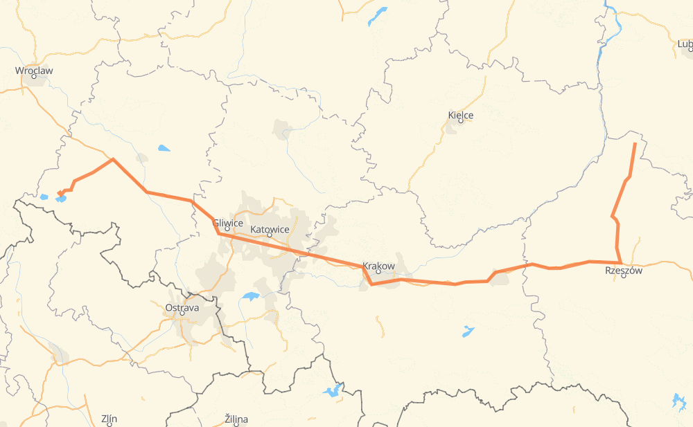
The distance from Zaklików to Suszkowice is 299 miles by road including 219 miles on motorways. Road takes approximately 5 hours and 5 minutes and goes through Stalowa Wola, Głogów Małopolski, Chrzanów, Cezarówka Dolna, Zalenzer Halde, Otmęt and Proskau.
You can adjust fuel consumption and fuel price here.
How long is a car ride from Zaklików to Suszkowice?
Driving time:
5 h 5 min
This time is calculated for driving at the maximum permitted speed, taking into account traffic rules restrictions.
211 mi with a maximum speed 68 mph = 3 h 6 min
5 mi with a maximum speed 62 mph = 4 min
7 mi with a maximum speed 56 mph = 7 min
39 mi with a maximum speed 56 mph = 42 min
5 mi with a maximum speed 50 mph = 5 min
6 mi with a maximum speed 43 mph = 7 min
4 mi with a maximum speed 37 mph = 6 min
21 mi with a maximum speed 31 mph = 39 min
2 mi with a maximum speed 25 mph = 5 min
The calculated driving time does not take into account intermediate stops and traffic jams.
How far is Zaklików to Suszkowice by land?
The distance between Zaklików and Suszkowice is 298.9 mi by road including 218.7 mi on motorways.
Precise satellite coordinates of highways were used for this calculation. The start and finish points are the centers of Zaklików and Suszkowice respectively.
How far is Zaklików to Suszkowice by plane?
The shortest distance (air line, as the crow flies) between Zaklików and Suszkowice is 214.4 mi.
This distance is calculated using the Haversine formula as a great-circle distance between two points on the surface of a sphere. The start and finish points are the centers of Zaklików and Suszkowice respectively. Actual distance between airports may be different.
How many hours is Zaklików from Suszkowice by plane?
Boeing 737 airliner needs 25 min to cover the distance of 214 mi at a cruising speed of 497 mph.
Small plane "Cessna 172" needs 1 h 34 min to flight this distance at average speed of 136 mph.
This time is approximate and do not take into account takeoff and landing times, airport location and other real world factors.
How long is a helicopter ride from Zaklików to Suszkowice?
Fast helicopter "Eurocopter AS350" or "Hughes OH-6 Cayuse" need 1 h 26 min to cover the distance of 214 mi at a cruising speed of 149 mph.
Popular "Robinson R44" needs 1 h 38 min to flight this distance at average speed of 130 mph.
This time is approximate and do not take into account takeoff and landing times, aerodrome location and other real world factors.
What city is halfway between Zaklików and Suszkowice?
The halfway point between Zaklików and Suszkowice is Kąty. It is located about 6 mi from the exact midpoint by road.
The distance from Kąty to Zaklików is 156 mi and driving will take about 2 h 43 min. The road between Kąty and Suszkowice has length 144 mi and will take approximately 2 h 21 min.
The other cities located close to halfway point:
Zalesie is in 143 mi from Zaklików and 156 mi from Suszkowice
Parcele is in 142 mi from Zaklików and 157 mi from Suszkowice
Za Górą is in 158 mi from Zaklików and 141 mi from Suszkowice
Where is Zaklików in relation to Suszkowice?
Zaklików is located 214 mi east of Suszkowice.
Zaklików has geographic coordinates: latitude 50.75544, longitude 22.10202.
Suszkowice has geographic coordinates: latitude 50.47938, longitude 17.23365.